Weather
Maryland Snow Totals Town By Town From December 15
The National Weather Service says unofficial reports are in from Friday's snowfall across Maryland.


BALTIMORE, MD — The Baltimore-Washington area was projected to get between 1 and 2 inches of snowfall Friday, and that's around how much accumulated. The National Weather Service provided the following preliminary measurements from weather spotters, media and government agencies.
The greatest measured snowfall was in Cecil County, where 2.3 inches was reported in Elkton. Accumulations of 2 inches were reported in both Harford and Baltimore counties.
Here are the unofficial measurements taken Friday, Dec. 15, unless otherwise noted:
Find out what's happening in Perry Hallfor free with the latest updates from Patch.
Anne Arundel County
Chelsea Beach 0.8 inch as of 8 a.m. Saturday
Find out what's happening in Perry Hallfor free with the latest updates from Patch.
Fort Meade 0.8 inch as of 7 a.m. Saturday
BWI Airport 0.7 inch as of 7 p.m.
Herald Harbor 0.5 inch as of 5:50 p.m.
Crofton 0.5 inch as of 5:37 p.m.
Ridgeway 0.5 inch as of 8:16 a.m. Saturday
Odenton 0.5 inch as of 7 a.m. Saturday
Laurel 0.4 inch as of 7 a.m. Saturday
Deale 0.3 inch as of 7 a.m. Saturday
Baltimore County
Kingsville 2 inches as of 4:58 p.m.
Long Green 1.9 inches as of 7 a.m. Saturday
Upper Falls 1.8 inches as of 5:30 p.m.
Kingsville 1.8 inches as 4:30 p.m.
Middle River 1.6 inches as of 5:29 p.m.
White Marsh 1.5 inches as of 7 a.m. Saturday
Long Green 1.5 inches as of 4:07 p.m.
White Marsh 1.5 inches as of 4:50 p.m.
Long Green 1.2 inches as of 7 a.m. Saturday
Parkton 0.9 inch as of 9:15
Brooklandville 0.9 inch as of 3:40 pm.
Bentley Springs 0.8 inch as of 4 p.m.
Reisterstown 0.8 inch as of 5:06 p.m.
Glyndon 0.5 inch as of 4:30 p.m.
Baltimore City
Hamilton 1.3 inches as of 6 a.m. Saturday
Pimlico 1 inch as of 4 p.m.
Arlington 1 inch as of 7 p.m.
Calvert County
Dunkirk 0.2 inch as of 8 a.m. Saturday
Carroll County
Gamber 0.8 inch as of 7 a.m. Saturday
Oakland 0.5 inch as of 3:30 p.m.
Eldersburg 0.3 inch as of 4 p.m.
Sykesville 0.3 inch as of 7 a.m. Saturday
Cecil County
Elkton 2.3 inches as of 7 p.m.
Frederick County
Thurmont 0.5 inch as of 3:35 p.m.
Emmitsburg 0.5 inch as of 3:49 p.m.
New Market 0.3 as of 8 a.m. Saturday
Harford County
Bel Air 2 inches as of 7 a.m. Saturday
Bel Air 2 inches as of 5:10 p.m.
Bynum 2 inches as of 5:29 p.m.
Norrisville 1.4 inches as of 7 a.m. Saturday
Howard County
Elkridge 0.6 inch as of 7 a.m. Saturday
Elkridge 0.8 inch as of 5:12 p.m.
Ellicott City 0.5 inch as of 5:21 p.m.
Laurel 0.5 inch as of 7 a.m. Saturday
Columbia 0.4 inch as of 7 a.m. Saturday
Columbia 0.4 inch as of 7 a.m. Saturday
Kent County
Millington 1.6 inches as of 8:05 p.m.
Montgomery County
Damascus 0.3 inch as of 7 a.m. Saturday
Colesville 0.3 inch as of 7 a.m. Saturday
Poolesville 0.3 inch as of 8 a.m. Saturday
Takoma Park 0.3 inch as of 7 a.m. Saturday
Norbeck 0.3 inch as of 5 p.m.
Damascus 0.3 inch as of 6:41 p.m.
Damascus 0.3 inch as of 6:30 a.m. Saturday
Montgomery Village 0.2 inch as of 5 p.m.
White Oak 0.2 inch as of 7 a.m. Saturday
Potomac 0.2 inch as of 7 a.m. Saturday
Montgomery Village 0.2 inch as of 7 a.m.
Prince George's County
Tantallon 0.3 inch as of 7 a.m. Saturday
Oxon Hill 0.3 inch as of 7 a.m. Saturday
Oxon Hill 0.3 inch as of 7 a.m. Saturday
Morningside 0.2 inch as of 7 a.m. Saturday
Baden 0.2 inch as of 7 a.m. Saturday
Queen Anne's County
Sudlersville 2 inches as of 9:30 p.m.
St. Mary's County
California trace amounts as of 2:56 p.m.
California trace amounts as of 2 p.m.
Washington County
Boonsboro 0.2 inch as of 2 p.m.
All data was from the National Weather Service.
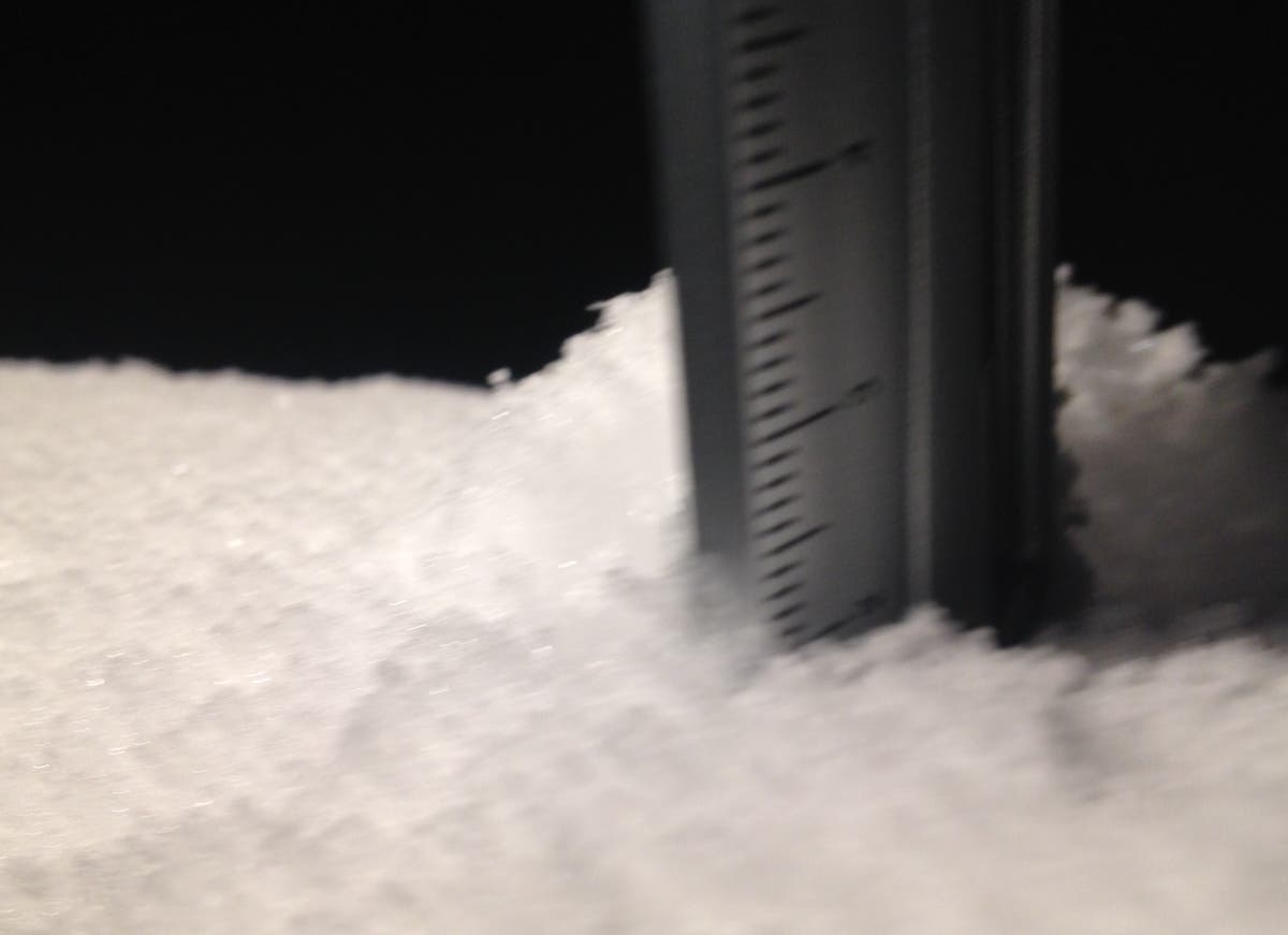
Still from CHART traffic camera on US 1 at Baltimore-Harford line at 9:15 p.m. on Dec. 15. Snow measuring by Elizabeth Janney.
Get more local news delivered straight to your inbox. Sign up for free Patch newsletters and alerts.