Weather
Heavy Rain, Strong Winds, Flood Worries Return To MA This Week
While Thursday night's storm may not be a blockbuster, it could be of particular concern to some coastal locations.

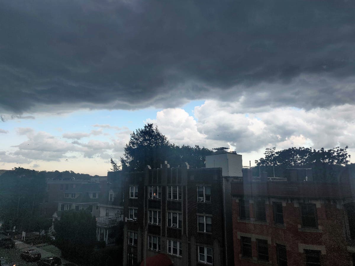
SALEM, MA — Yet another dose of heavy rain, strong winds and coastal flooding concerns are headed for Massachusetts this week with the coming storm of particular concern for those areas that experienced inundation during the January deluge that swamped some neighborhoods not always as susceptible to traditional New England storms.
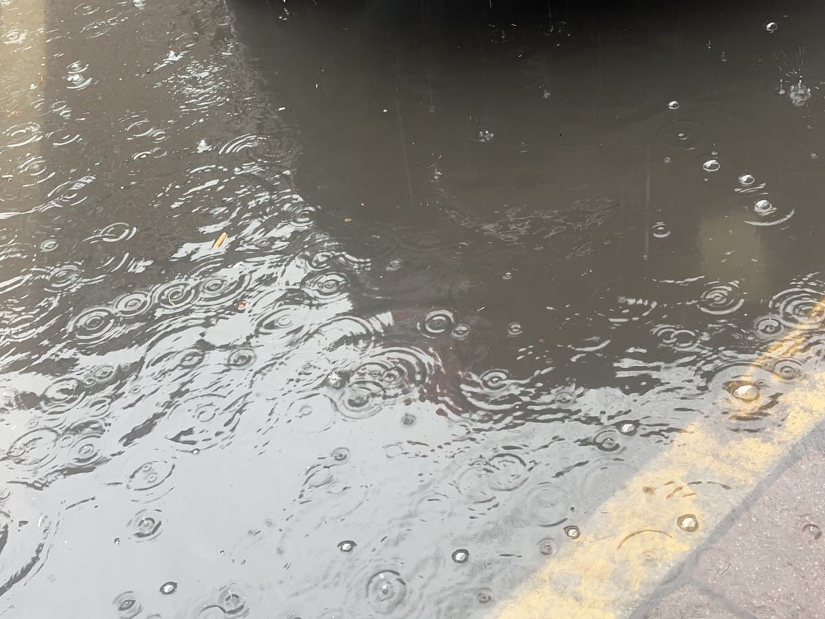
The bright sun of early this week is forecast to fade later Wednesday with light showers and wind developing overnight. But of greater concern is a storm approaching Thursday into Friday morning that could bring an additional 1 to 2 inches of rain, and wind gusts up to 40 miles that will coincide with astronomically high tides.
Salem officials on Thursday issued warnings to those who live or travel through the coastal Willows neighborhood that were decimated in the Jan. 13 storm that breached a seawall and swamped areas of the city.
Find out what's happening in Across Massachusettsfor free with the latest updates from Patch.
The high tides of biggest concern on the North Shore are the 12:45 a.m. early Thursday morning high tide, the 2:22 a.m. Friday high tide and 3 p.m. Friday afternoon tide.
That storm also produced damaging floods in Marblehead, Swampscott and other coastal locations that are particularly vulnerable to storms that include a strong southeast wind.
Find out what's happening in Across Massachusettsfor free with the latest updates from Patch.
Salem police said barricades will be set up on flooded roads for the protection of residents and travelers and urged anyone in the area not to try to drive around them.
"Even low levels of flood water on a roadway can severely damage or immobilize a vehicle," police said.
The National Weather Service said winds will build up to 20 miles per hour as heavier rain approaches later Thursday and becomes torrential at times overnight.
While showers will wane after the Friday morning commute, winds will remain gusty — especially along the coast — with gusts up to 40 mph.
The timing of the next storm will be good for those who may have a long weekend with the upcoming Patriots Day holiday.
Saturday and Sunday are forecast to be partly to mostly sunny with highs in the 50s and low 60s. Highs for Monday's Boston Marathon could be downright warm with a forecast high of 67 degrees and temperatures threatening or surpassing 70 degrees in some inland locations.
(Scott Souza is a Patch field editor covering Beverly, Danvers, Marblehead, Peabody, Salem and Swampscott. He can be reached at Scott.Souza@Patch.com. X/Twitter: @Scott_Souza.)
Get more local news delivered straight to your inbox. Sign up for free Patch newsletters and alerts.