Weather
MA Flood, High Wind Watch Issued For Weekend Winter Storm
Much like Tuesday night, the storm late Friday night will bring heavy rain, high winds and coastal flooding concerns to Massachusetts.


MASSACHUSETTS — For the third time in a week a significant winter storm will zero in on Massachusetts this weekend with this one carrying with it a Flood Watch, High Wind Watch and concerns about coastal and river flooding from heavy rain and an astronomically high tide on Saturday morning.
The storm is expected to arrive late Friday night around midnight with the chance of a brief period of snow north and west of Boston before the entire state turns to another drenching overnight rain. The National Weather Service is forecasting another inch or more of rain on top of early Wednesday morning's heavy rain and rapid snowmelt.
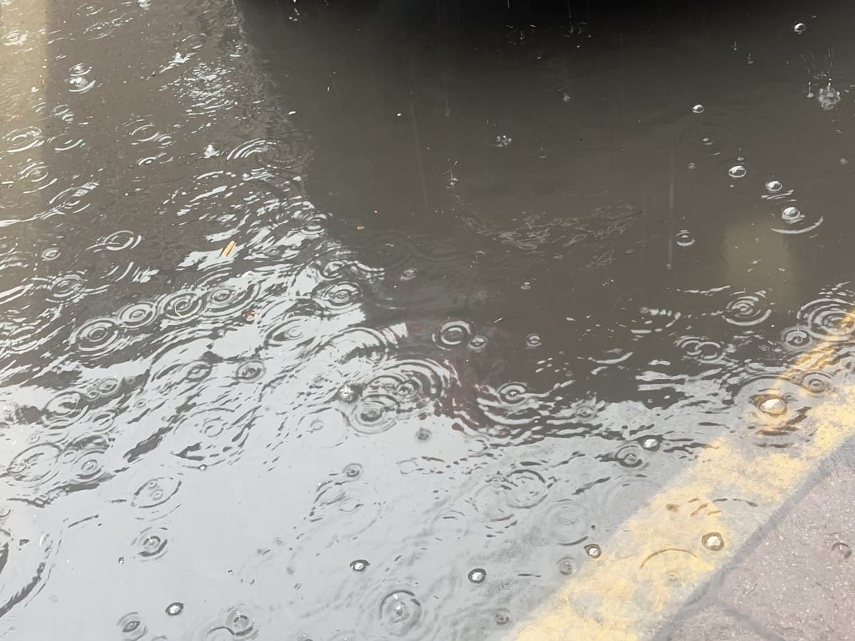
"A widespread 2 to 4 inches of rain fell Tuesday Night into Wednesday morning combined with rapid snowmelt," the National Weather Service said on Thursday. "This resulted in
numerous rivers and streams going into flood or expected to go into flood within 24 hours from the residual runoff. In addition, another widespread 1 to 2 inches of rain is expected Friday night into early Saturday. This may exacerbate current river and stream flooding and/or result in additional flooding."
Find out what's happening in Across Massachusettsfor free with the latest updates from Patch.
Get ready for a déjà vu! Brace yourselves as another potent system gears up to make its mark on southern New England this Friday night/Saturday. New headlines; High Wind Watch, Coastal Flood Watch, Flood Watch, and Storm Watch #MAwx #CTwx #RIwx pic.twitter.com/GBSAc6Zeei
— NWS Boston (@NWSBoston) January 11, 2024
The Flood Watch is in place for all of eastern and central Massachusetts until 7 p.m. on Saturday with a continued flood warning in place for streams and rivers that remain at or close to flood stage on Thursday.
Temperatures will rise throughout the night and hit a high of 57 degrees on Saturday morning before cooling as the storm departs.
Find out what's happening in Across Massachusettsfor free with the latest updates from Patch.
A Coastal Flood Watch has been issued for the Saturday morning high tide after roads and neighborhoods near Salisbury, Plum Island and Hampton Beach, NH flooded in the wake of the Tuesday night storm on Wednesday.
"Minor coastal flooding occurs along Morrissey Boulevard in Boston," the National Weather Service said. "Coastal flooding is expected along the North Shore from Gloucester to Newburyport. Wave action will likely cause some washover onto coastal roads around the time of high tide.
"Expect minor coastal flooding of some low-lying roadways. Minor coastal flooding occurs in Provincetown, in the vicinity of Race Point Road and Provincetown Airport. In Truro, backwater flooding occurs along the Pamet River."
Winds are not forecast to be quite as damaging as early this week — with peak gusts of 65 miles per hour reported at Chatham and Dennis — but could approach 60 miles per hour on Cape Cod, 50 miles per hour on the North Shore and South Shore, and 40 miles per hour inland.
A High Wind Watch has been issued from 1 a.m. on Saturday until 1 p.m.
After a week of unseasonably warm temperatures, it will feel a lot more like winter on Sunday and Monday with sun before the next shot of substantial snow roars into the region on Tuesday.
Get more local news delivered straight to your inbox. Sign up for free Patch newsletters and alerts.