Weather
Potentially Damaging Weather Headed For New England: NWS
After temperatures in the 70s on Wednesday, wet and windy weather could make a mess Thursday.

MASSACHUSETTS — Potentially damaging weather may move through New England after a blast of warm weather set to begin Wednesday, according to forecasts.
Temperatures will get into the low to mid-70s in Massachusetts Wednesday — mostly east of Middlesex County. Parts of Essex County and southern New Hampshire may see the warmest temperatures approaching 73.
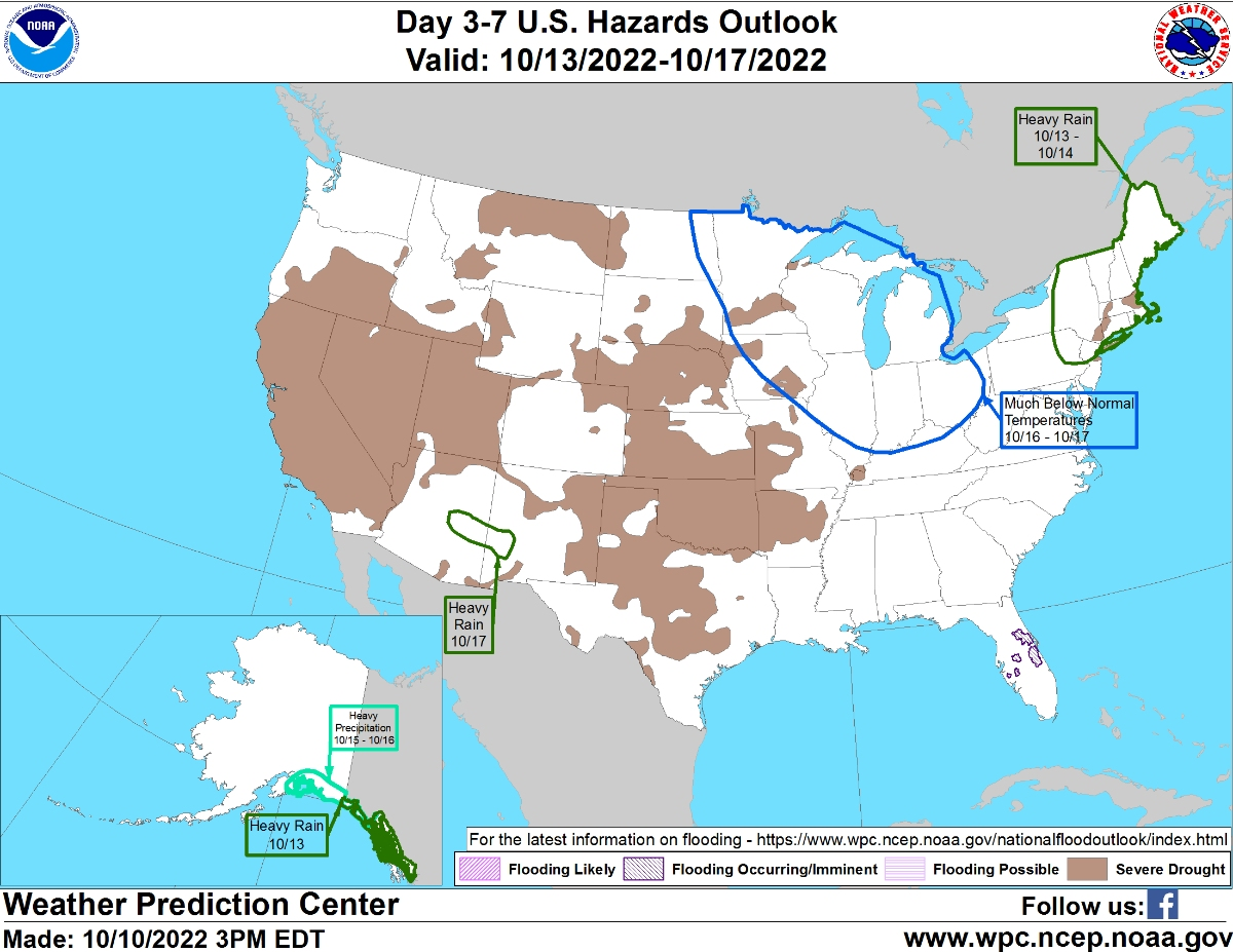
But as that warmth continues into Thursday, there will be some side effects, according to the National Weather Service. The warm air will provide ammunition for heavy rain and wind gusts, possibly up to 50 mph to develop overnight Thursday. That could mean a messy commute Friday morning.
Find out what's happening in Across Massachusettsfor free with the latest updates from Patch.
"Main concern revolves around the potential for a period of heavy rain and gusty southerly winds late Thursday into early Friday," the National Weather Service said Monday. "Specific timing still uncertain, but right now appears the heaviest rain may fall during the Thursday overnight hours."
Here's the full National Weather Service forecast for parts of the region for the rest of the week:
Find out what's happening in Across Massachusettsfor free with the latest updates from Patch.
Boston Area
Wednesday: Sunny, with a high near 70. South wind 6 to 11 mph.
Wednesday Night: Mostly cloudy, with a low around 57. South wind around 10 mph.
Thursday: A chance of showers, mainly after 3pm. Partly sunny, with a high near 71. South wind 10 to 18 mph. Chance of precipitation is 30%.
Thursday Night: Showers likely, then showers and possibly a thunderstorm after 11pm. Low around 62. Breezy, with a southeast wind around 21 mph, with gusts as high as 36 mph. Chance of precipitation is 90%.
Friday: Showers likely, mainly before 8am. Mostly cloudy, with a high near 68. South wind 9 to 14 mph. Chance of precipitation is 60%.
Worcester Area
Wednesday: Sunny, with a high near 70. Light west wind becoming southwest 5 to 9 mph in the morning. Winds could gust as high as 20 mph.
Wednesday Night: Mostly cloudy, with a low around 54. South wind around 7 mph.
Thursday: Showers likely, mainly after 5pm. Mostly cloudy, with a high near 69. South wind 6 to 14 mph, with gusts as high as 26 mph. Chance of precipitation is 60%.
Thursday Night: Showers, with thunderstorms also possible after 9pm. Low around 58. Southeast wind 14 to 16 mph, with gusts as high as 33 mph. Chance of precipitation is 90%.
Friday: Showers likely, mainly before 7am. Partly sunny, with a high near 67. South wind around 8 mph. Chance of precipitation is 60%.
Cape Cod
Wednesday: Sunny, with a high near 70. Southwest wind 5 to 10 mph.
Wednesday Night: Mostly cloudy, with a low around 55. South wind 7 to 9 mph.
Thursday: A slight chance of showers after 2pm. Partly sunny, with a high near 68. Breezy, with a south wind 11 to 21 mph. Chance of precipitation is 20%.
Thursday Night: Showers, with thunderstorms also possible after 1am. Low around 59. Breezy, with a southeast wind around 24 mph, with gusts as high as 37 mph. Chance of precipitation is 90%.
Friday: Showers likely, mainly before 10am. Mostly cloudy, with a high near 67. South wind 13 to 17 mph, with gusts as high as 34 mph. Chance of precipitation is 60%.
Get more local news delivered straight to your inbox. Sign up for free Patch newsletters and alerts.