Weather
Shot Of Snow, Big Warmup On Way For MA: See Latest Forecast
Travel could be tricky Tuesday afternoon as New England moves out of the deep freeze of the past week into the 50s by Friday.

MASSACHUSETTS — A week of sub-freezing temperatures — and the coldest days of the year — will transition into a spring-like feel by the week's end after a shot of snow Tuesday afternoon.
The busy weather pattern starts off with a nice Monday as temperatures rise above 32 degrees for the first time in six days across most of the state with highs near 40 under mostly sunny skies.
Tuesday's weather will be a little tricky with a shot of snow across the region in the afternoon and early evening. While accumulations are expected to be 2 inches or less, the snow could make for a rough evening commute for those stuck in a snow ban.
Find out what's happening in Across Massachusettsfor free with the latest updates from Patch.
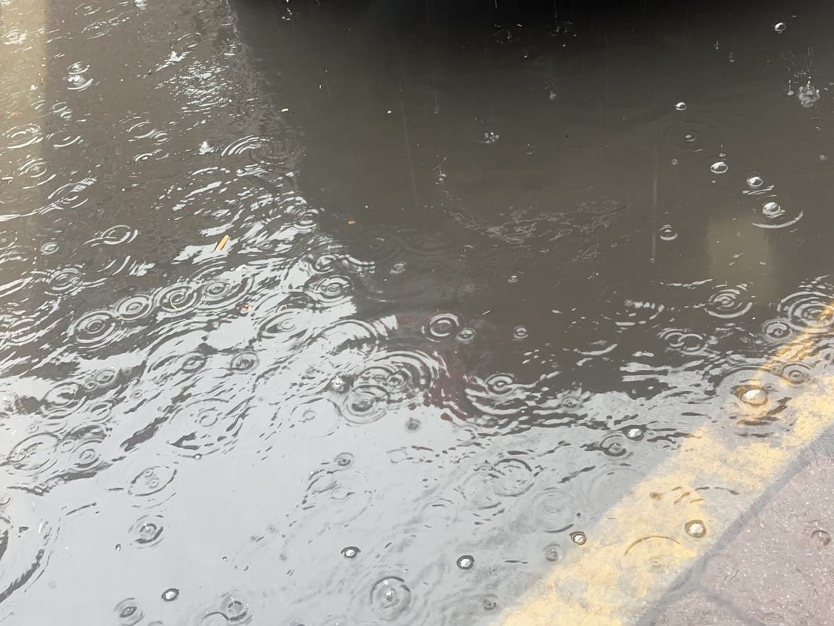
The rest of the week will be much warmer than recent days with a chance of rain through Friday.
The National Weather Service is forecasting a high of 46 degrees with an 80 percent chance of rain on Thursday, and 53 degrees with a 70 percent chance of rain on Friday.
Find out what's happening in Across Massachusettsfor free with the latest updates from Patch.
The early weekend forecast is looking good by January standards with Saturday partly sunny with a high of 48 degrees and Sunday partly sunny with a high of 43 degrees.
(Scott Souza is a Patch field editor covering Beverly, Danvers, Marblehead, Peabody, Salem and Swampscott. He can be reached at Scott.Souza@Patch.com. X/Twitter: @Scott_Souza.)
Get more local news delivered straight to your inbox. Sign up for free Patch newsletters and alerts.