Weather
At Least One Tornado Confirmed To Have Hit MA, RI: NWS
Teams were sent to survey storm damage in Massachusetts, Connecticut, and Rhode Island to determine whether it was caused by a tornado.


MASSACHUSETTS — At least one tornado hit the southern part of New England Wednesday after tornado warnings were issued for parts of Massachusetts and Rhode Island Wednesday evening, according to the National Weather Service.
Teams were sent out to survey storm damage in Massachusetts, Connecticut, and Rhode Island Thursday, after which the National Weather Service confirmed that the damage in Killingly, Connecticut, Foster, Glocester, and Lincoln, Rhode Island, and North Attleboro, Massachusetts was "tornadic."
"Team is still determining if it was a continuous path or separate touchdowns, a final EF-rating, path length & width," officials wrote on X, formerly known as Twitter, Thursday afternoon.
Find out what's happening in Across Massachusettsfor free with the latest updates from Patch.
In Lincoln, Rhode Island, photos after the storm showed at least one roof damaged and the press box at the high school stadium tipped into the bleachers.
Funnels were reportedly spotted over Newport Bridge and the North Central Airport in Rhode Island Wednesday afternoon.
Find out what's happening in Across Massachusettsfor free with the latest updates from Patch.
A tornado warning was in effect until about 6:30 p.m. Wednesday as a severe thunderstorm capable of producing a tornado was located over Cumberland, the National Weather Service said. The same storm was located over Smithfield, Rhode Island earlier in the afternoon.
Pawtucket, North Attleborough, Central Falls, Brockton, Attleboro, and Woonsocket were also under a tornado warning Wednesday evening.
Officials said that more information about possible tornadoes in the area would be made available Thursday.
The tornado warnings in New England come as Hurricane Lee began to impact Bermuda, where tropical storm conditions were being reported.
Hurricane Lee was forecast to pass offshore of New England, but its impact will still be felt. Already dangerous surf and rip current conditions were affecting much of the East Coast, according to the National Hurricane Center. A tropical storm warning was issued for Martha's Vineyard and Nantucket Thursday morning and a storm surge watch is in effect late Friday and Saturday for Cape Cod Bay and Nantucket.
Rhode Island Gov. Dan McKee said on social media that the state's emergency operations center was activated and would be monitoring the fast-changing weather conditions over the next few days.
“The best thing you can do right now: Stay tuned for frequent updates,” McKee said.
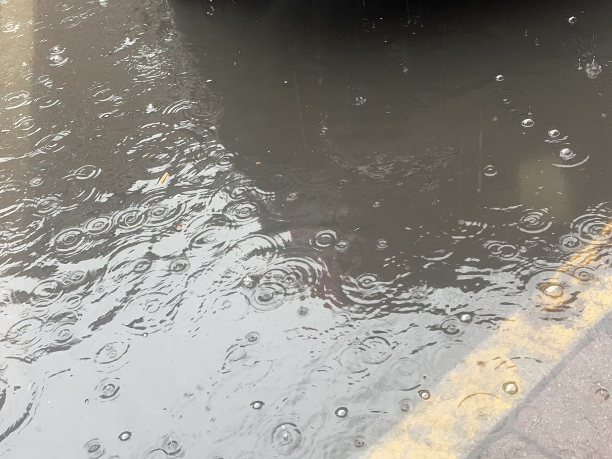
Late Tuesday, Massachusetts Gov. Maura Healey issued a state of emergency following the “catastrophic flash flooding and property damage” in two counties and other communities. The torrential downpour in a six-hour period earlier in the week was a "200-year event," said Matthew Belk, a meteorologist with the National Weather Service in Boston.
Healey said Wednesday that the state’s emergency management agency is watching the weather and is prepared to offer assistance. The state is monitoring the conditions of dams, she said, and she urged residents to take flood warnings seriously and to stay off the roads when ordered.
The rain created several sinkholes in Leominster, Massachusetts, including one at a dealership where several cars were swallowed up. In Providence, Rhode Island, downpours flooded a parking lot and parts of a shopping mall. Firefighters used inflatable boats to rescue more than two dozen people stranded in cars.
The Associated Press contributed to this report.
Get more local news delivered straight to your inbox. Sign up for free Patch newsletters and alerts.