Weather
Weather 'Whiplash' Coming To MA: Temps Near 70, Then Snow
We could go from balmy temperatures to a real snow event in about 48 hours, according to the National Weather Service.

MASSACHUSETTS — This week's forecast is the epitome of Mark Twain's "If you don't like the weather in New England, just wait a few minutes" adage.
If current forecasts hold, the region will see temperatures approaching 70 degrees on Monday, followed by a nearly 30-degree swing into the 30s — and then perhaps the first real snowstorm of the winter.
According to the National Weather Service, the weekend will be relatively normal, with sun and lows in the 30s, highs in the 40s. Then on Monday temperatures will head into the upper 60s in the Boston area, with slightly lower temperatures inland in Worcester. High wind gusts will accompany the warmth, and the chance of thunderstorms.
Find out what's happening in Across Massachusettsfor free with the latest updates from Patch.
The cold air returns Tuesday, turning precipitation into snow by Wednesday evening, according to forecasts. The weather service hasn't made any predictions about how much snow will fall, but said areas along the coast might see only rain.
"Talk about weather whiplash! An active weather pattern over the next few days could bring damaging wind gusts, thunderstorms, well above normal temperatures, and then the season's first widespread accumulating snowfall to interior southern New England!" the weather service said in a tweet on Saturday.
Find out what's happening in Across Massachusettsfor free with the latest updates from Patch.
Meteorological winter began on Dec. 1 (the winter solstice isn't until Dec. 21). The weather service's Climate Prediction Center is projecting a 50 percent chance of above-normal temperatures in New England over the first half of December. Precipitation levels should be around normal.
Here's where the forecast stood on Saturday morning for key parts of the state:
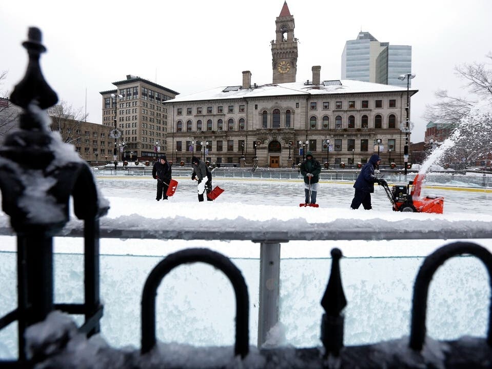
Worcester
Monday: Showers likely, mainly between 7am and 11am. Mostly cloudy, with a high near 60. Windy, with a southeast wind 6 to 11 mph becoming south 16 to 26 mph in the afternoon. Winds could gust as high as 50 mph. Chance of precipitation is 60%.
Tuesday: Mostly sunny, with a high near 37. West wind 6 to 11 mph, with gusts as high as 22 mph.
Wednesday: Snow showers likely before 3pm, then rain and snow showers likely. Cloudy, with a high near 36. Calm wind becoming east around 6 mph in the morning. Chance of precipitation is 70%.
Boston
Monday: Showers likely before 11am, then showers likely and possibly a thunderstorm between 11am and noon, then a chance of showers after noon. Mostly cloudy, with a high near 67. Breezy, with a southeast wind 8 to 13 mph increasing to 20 to 25 mph in the afternoon. Winds could gust as high as 50 mph. Chance of precipitation is 60%.
Tuesday: Mostly sunny, with a high near 40. West wind 8 to 14 mph, with gusts as high as 28 mph.
Wednesday: Snow showers likely before noon, then rain showers likely. Cloudy, with a high near 40. Calm wind becoming east around 6 mph in the afternoon. Chance of precipitation is 70%.
Provincetown
Monday: Showers likely and possibly a thunderstorm before 1pm, then a chance of showers and thunderstorms between 1pm and 3pm, then a chance of showers after 3pm. Mostly cloudy, with a high near 59. Windy, with a south wind 15 to 20 mph increasing to 24 to 29 mph in the afternoon. Winds could gust as high as 55 mph. Chance of precipitation is 60%.
Tuesday: Mostly sunny, with a high near 42. Breezy, with a west wind 15 to 24 mph, with gusts as high as 43 mph.
Wednesday: A chance of snow showers before 8am, then rain showers likely. Cloudy, with a high near 48. East wind 7 to 13 mph. Chance of precipitation is 70%.
Pittsfield
Monday: Showers likely, mainly between 7am and 1pm, then rain after 1pm. High near 56. Southeast wind 8 to 18 mph becoming southwest in the afternoon. Winds could gust as high as 36 mph. Chance of precipitation is 90%. New precipitation amounts between a tenth and quarter of an inch possible.
Tuesday: Partly sunny, with a high near 32.
Wednesday: Snow likely. Cloudy, with a high near 34. Chance of precipitation is 70%.
Get more local news delivered straight to your inbox. Sign up for free Patch newsletters and alerts.