Weather
Weekend MA Snow Threat: Storm Tracking Closer To New England
The storm track will likely bring rain Sunday and a change to snow into Monday morning with heaviest amounts north and west of Boston.


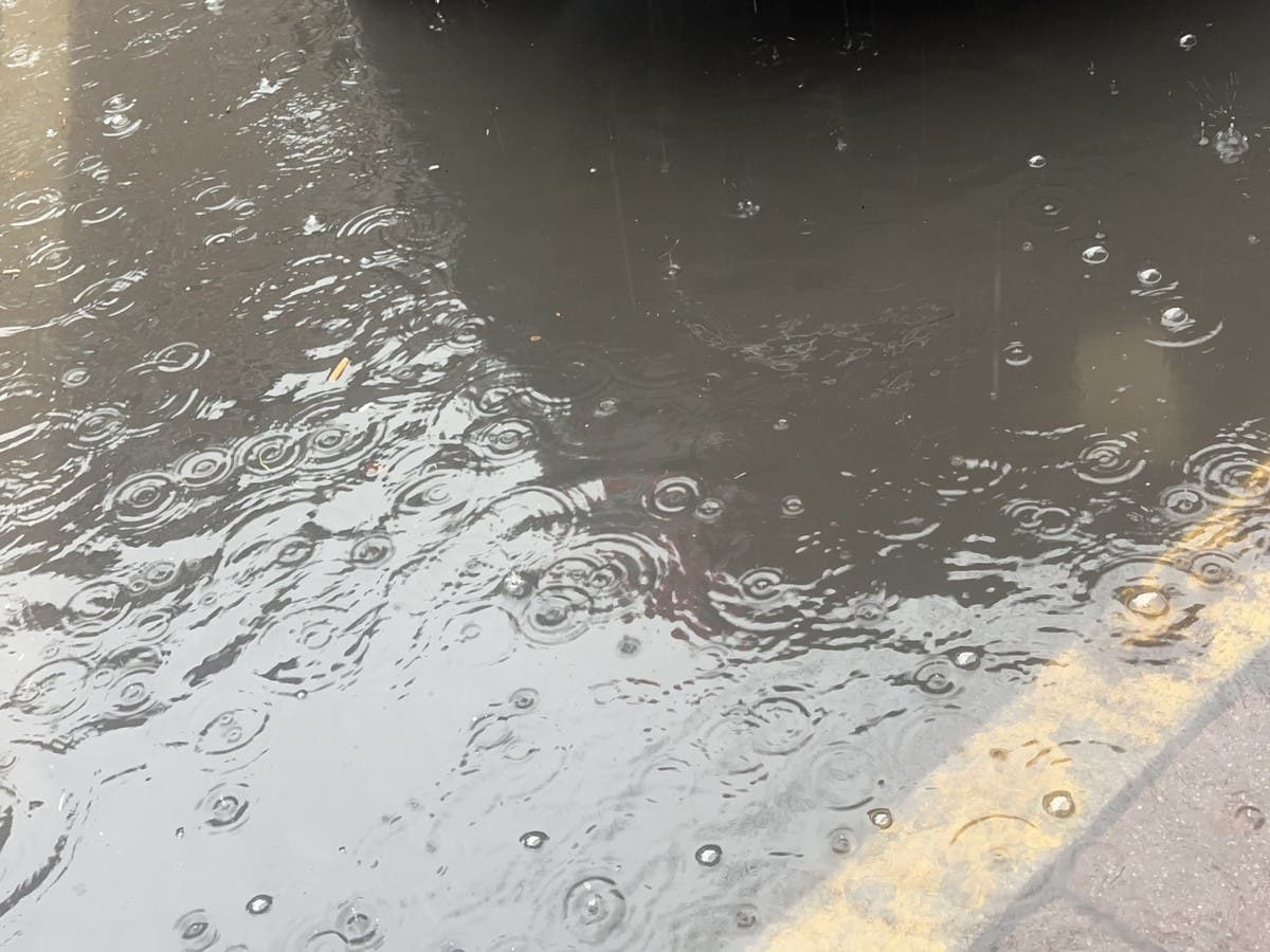
MASSACHUSETTS — A change in the track of the weekend storm could bring more rain to coastal locations well into Sunday night before a change to snow around the time of the Monday morning commute.
The National Weather Service said on Friday morning that a rainy Sunday will turn blustery and colder overnight with winds gusting up to 35 miles per hour out of the northwest into what could be a very wintry Monday morning commute.
While snow accumulations remain in flux, it appears the latest track of the storm will bring it closer to New England but may result in a slightly weaker storm that will cut down on snow totals in southern and coastal locations.
Find out what's happening in Across Massachusettsfor free with the latest updates from Patch.
The best chance for 6 inches or more of snow remains in the areas of Worcester and areas north and west of Route 495.
But the timing of the storm could be more problematic than its overall power with snow for most locations in the state predicted for around the time of the Monday morning drive and the bus ride to school.
Find out what's happening in Across Massachusettsfor free with the latest updates from Patch.
Early projections have about 3 inches of snow falling on the North Shore and Greater Boston on Monday morning with lesser amounts on Cape Cod.
Before that, the rest of Friday will be a dreary day with temperatures near 40 degrees and off-and-on showers.
Saturday will be a chilly and cloudy day with temperatures in the high 30s.
Rain will arrive in the afternoon Sunday with precipitation turning to snow first in areas far north and west of Boston.
The very active winter weather pattern is then expected to calm next week with a string of days with little precipitation and seasonable temperatures in the high 30s and low 40s.
Get more local news delivered straight to your inbox. Sign up for free Patch newsletters and alerts.