Weather
MA Weather Forecast: Fourth Nor'easter Eyed Next Week
It's all too true: Forecasters are warning of another storm early next week.

Mother Nature is about to call your "I can't handle another storm" bluff. Forecasters Wednesday warned of a major storm brewing for early next week. The storm could become the fourth nor'easter in Massachusetts since the beginning of March.
The storm is starting off as the previous three have: With a lot of uncertainty. Forecasters aren't sure yet of what specific impacts it would have if it makes its way to Southern New England, or what sort of precipitation would be expected. All those details will be worked out in the coming days.
"Our next potential storm is late Monday night/Tuesday," but it's too early to tell if it will be primarily a rain or snow event, the National Weather Service said Wednesday. The region has had both in recent weeks, while power outages have affected more than a million homes in Massachusetts.
Find out what's happening in Bostonfor free with the latest updates from Patch.
AccuWeather says it like this: Either a large storm from the middle of the country will move our way or a second storm strengthening along the Atlantic coast will form into our fourth nor'easter in just a few weeks.
"Depending on the track and strength of both of the storms, parts of the mid-Atlantic, or New England or both areas may face yet another nor'easter with gusty winds, snow inland and rain or snow at the coast," AccuWeather wrote.
Find out what's happening in Bostonfor free with the latest updates from Patch.
>>>RELATED: Recent Storm Problems Could Force Climate Legislation
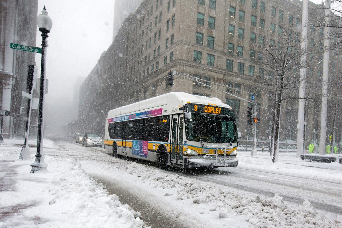
If the storm dumps more snow, this has a chance of being the snowiest March on record. Worcester only needs 4.2 more inches to set its mark. Boston, while getting three times more snow than usual for March, is still roughly 18 inches away from its 1993 record of 38.9 inches. Boston received 14.8 inches during Tuesday's storm. See the rest of the snow totals here.
Even more snow could fall Wednesday night, as evening squalls look to be forming.
[Localized Snow Squalls: Evening Commute] Scattered snow showers increasing in areal coverage this afternoon. This trend will continue this evening with a few localized heavy squalls capable of quickly coating roadways and reducing visibility for the evening commute. pic.twitter.com/G31UAYg3fL
— NWS Boston (@NWSBoston) March 14, 2018
Until we get to next week, we can expect cold temperatures and windy conditions. Highs aren't likely to break 40 degrees, and lows could reach into the low 20s or high teens. It's expected to be a generally sunny weekend, but not very pleasant out.
(Photo by Scott Eisen/Getty Images)
Get more local news delivered straight to your inbox. Sign up for free Patch newsletters and alerts.