Community Corner
Monday Afternoon Update: Multi-day Storm Snowfall Totals
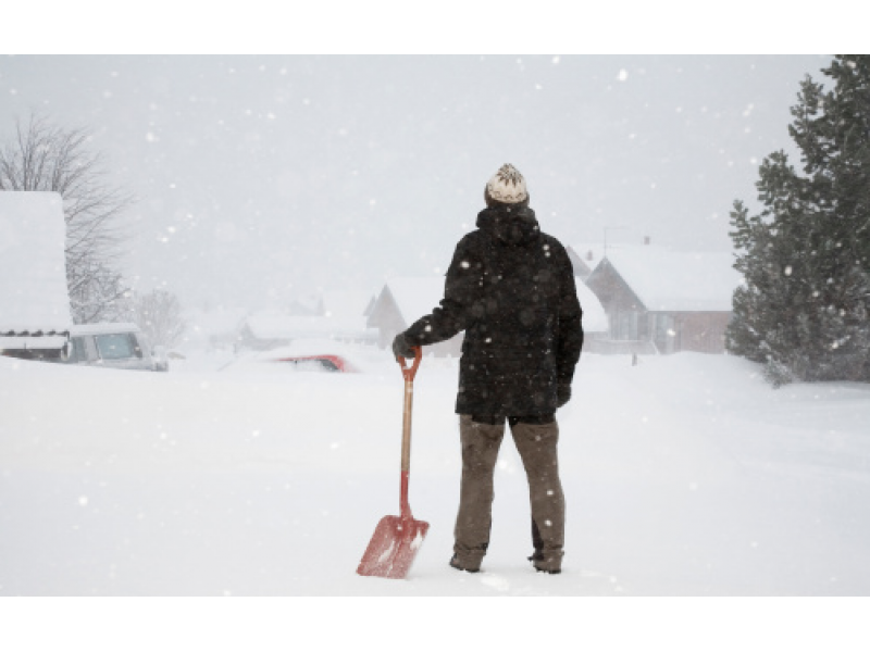
Keep the shovels handy: There is the potential for another winter storm to develop later this week, according to forecasters.

Multi-Day Storm: Snowfall Totals So Far For Essex County
The National Weather Service released an updated list of snow totals at 9:30 Monday morning. Here are the unofficial snowfall totals for Essex County so far for the ongoing extended winter storm that began Saturday afternoon.
- Marblehead: 12.6 inches
- Ipswich: 11.5 inches
- Groveland: 11.5 inches
- Topsfield: 10.0 inches
- Haverhill: 9.0 inches
- West Peabody: 7.5 inches
- Methuen: 7.5 inches
The National Weather Service released an updated list of snow totals at 3:16 Monday afternoon. Here are the unofficial snowfall totals for Essex County so far:
Find out what's happening in North Andoverfor free with the latest updates from Patch.
- Salem: 19.0 inches
- Lynn: 16.0 inches
- Ipswich: 13.0 inches
- Georgetown: 12.8 inches
- Nahant: 12.8 inches
- Topsfield: 12.5 inches
- Haverhill: 11.6 inches
- West Peabody: 9.0 inches
Keep the Snow Shovels, Mittens and Hot Cocoa Stocked
The seemingly never-ending storm will continue to drop snow on the region through Monday night. The heaviest snow will through the early afternoon on Monday, but moderate to heavy snow will likely continue falling across east coastal Massachusetts, according to the National Weather Service.
Find out what's happening in North Andoverfor free with the latest updates from Patch.
Dry weather will develop late Tuesday morning and will continue into Wednesday, according to forecasters.
There is the potential for another winter storm to develop late Thursday night into Friday, according to forecasters. An arctic blast arrives for the weekend.
Tips to Prevent the Threat of a Roof Collapse
Sign up for neighboring news:
ANDOVER / BEVERLY / DANVERS / HAMILTON-WENHAM / LYNNFIELD / MARBLEHEAD /NORTH ANDOVER / PEABODY / SALEM / SWAMPSCOTT
Get more local news delivered straight to your inbox. Sign up for free Patch newsletters and alerts.