Schools
Early Dismissal For Waltham Students Ahead Of Nor'easter
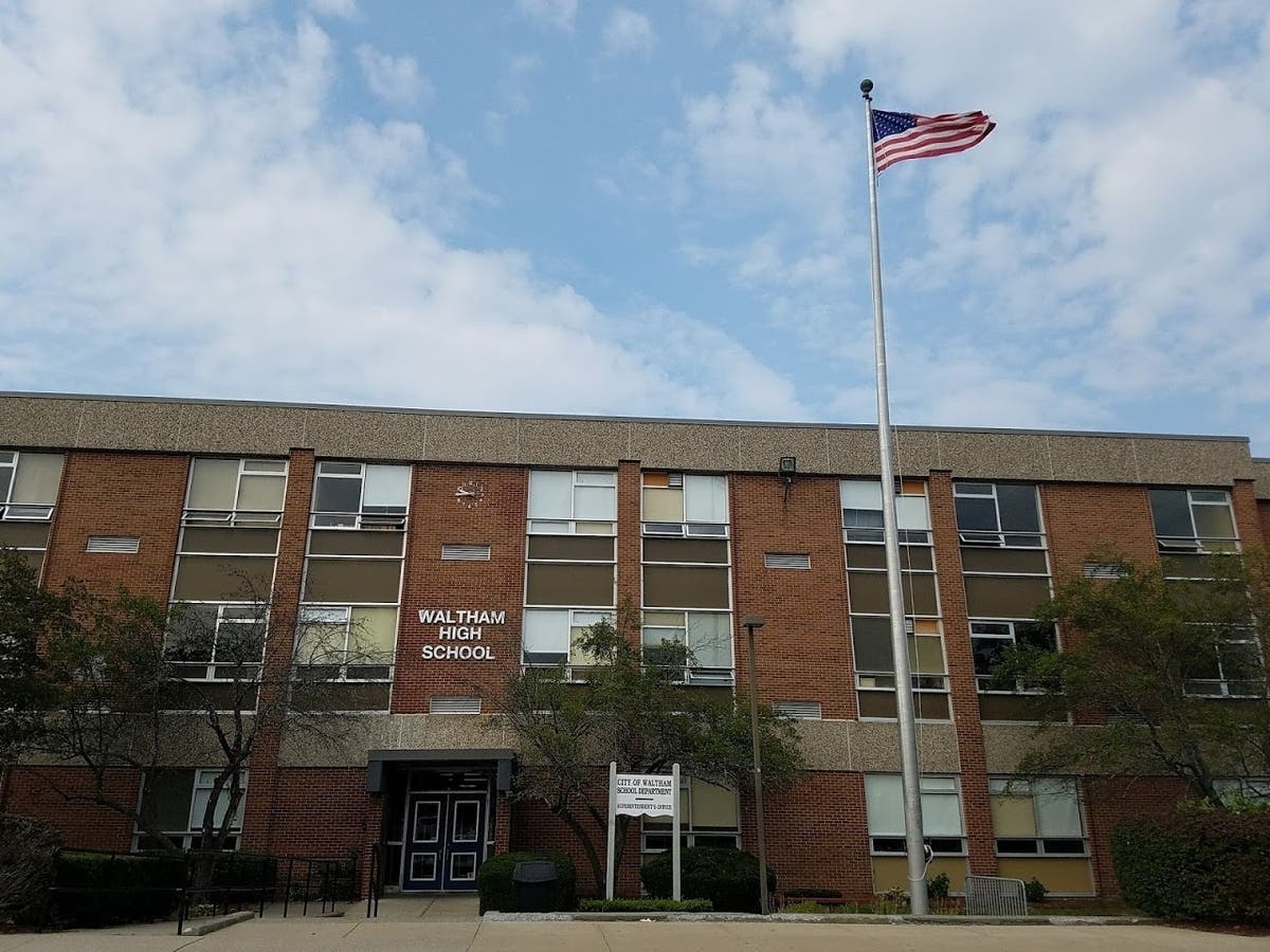
Students in Waltham will head home early on Tuesday as the city prepares for the effects of a March nor'easter.

WALTHAM, MA — Framingham Public Schools students will head home early on Tuesday ahead of a late-season nor'easter that's projected to bring as much as a foot of snow to some areas of the state.
An early release schedule has been instituted, which means all afternoon and evening activities are canceled as well.
Superintendent Brian Reagan released this message to parents on Monday evening:
Find out what's happening in Walthamfor free with the latest updates from Patch.
"Snow is expected to develop in Waltham tomorrow mid-day. As a result, we will dismiss all schools early on Tuesday, March 14 to ensure that everyone can travel home safely. There will be no Pre-K (AM/PM/Full Day). All after-school activities will also be canceled."
Schools will dismiss at the following times:
Find out what's happening in Walthamfor free with the latest updates from Patch.
- High School — 10:45 a.m.
- Middle Schools — 11:15 a.m.
- Elementary Schools — 11:45 a.m.
What State Officials Are Doing
The National Weather Service early Tuesday updated its snow predictions, moving higher snow totals into Essex County and the Boston area. Meanwhile, new winter storm warnings were set to go into effect at 10 a.m. encompassing all of Middlesex, Essex and Suffolk counties.
Heavy, wet snow was already beginning to accumulate in the Worcester area as of 7 a.m. Forecasters say snow will spread steadily east Tuesday, dropping up six or more inches in the Boston area — and as much as a foot or more in the Worcester area.
Read more: Snow Forecast Rises In MA, Winter Storm Warnings Move East
The storm was already beginning to take a toll on infrastructure as of sunrise. Some 27,000 residents were without power as of 7:30 a.m., mostly clustered in the Berkshires. On the Mass Pike, 40 mph speed restrictions were in place between Westfield and the New York border.
MassDOT Highway Administrator Jonathan Gulliver said early Tuesday the storm poses a challenge for road crews because the nor'easter began as a heavy rain, hampering pre-treating efforts.
The MBTA canceled all Charlestown and Hingham-Hull ferry service on Tuesday with very high winds expected along the coast.
Gov. Maura Healey on Monday evening ordered all non-emergency executive branch employees to stay home on Tuesday. Meanwhile, the Massachusetts Emergency Management Agency was planning to open its emergency operations center in Framingham at 8 a.m. Tuesday to monitor conditions.
Get more local news delivered straight to your inbox. Sign up for free Patch newsletters and alerts.