Community Corner
Severe Weather Alert: Forecast 'Demands Our Attention'
Today may test southeast Michigander's flood-worn last nerve. But the payback comes on the weekend.

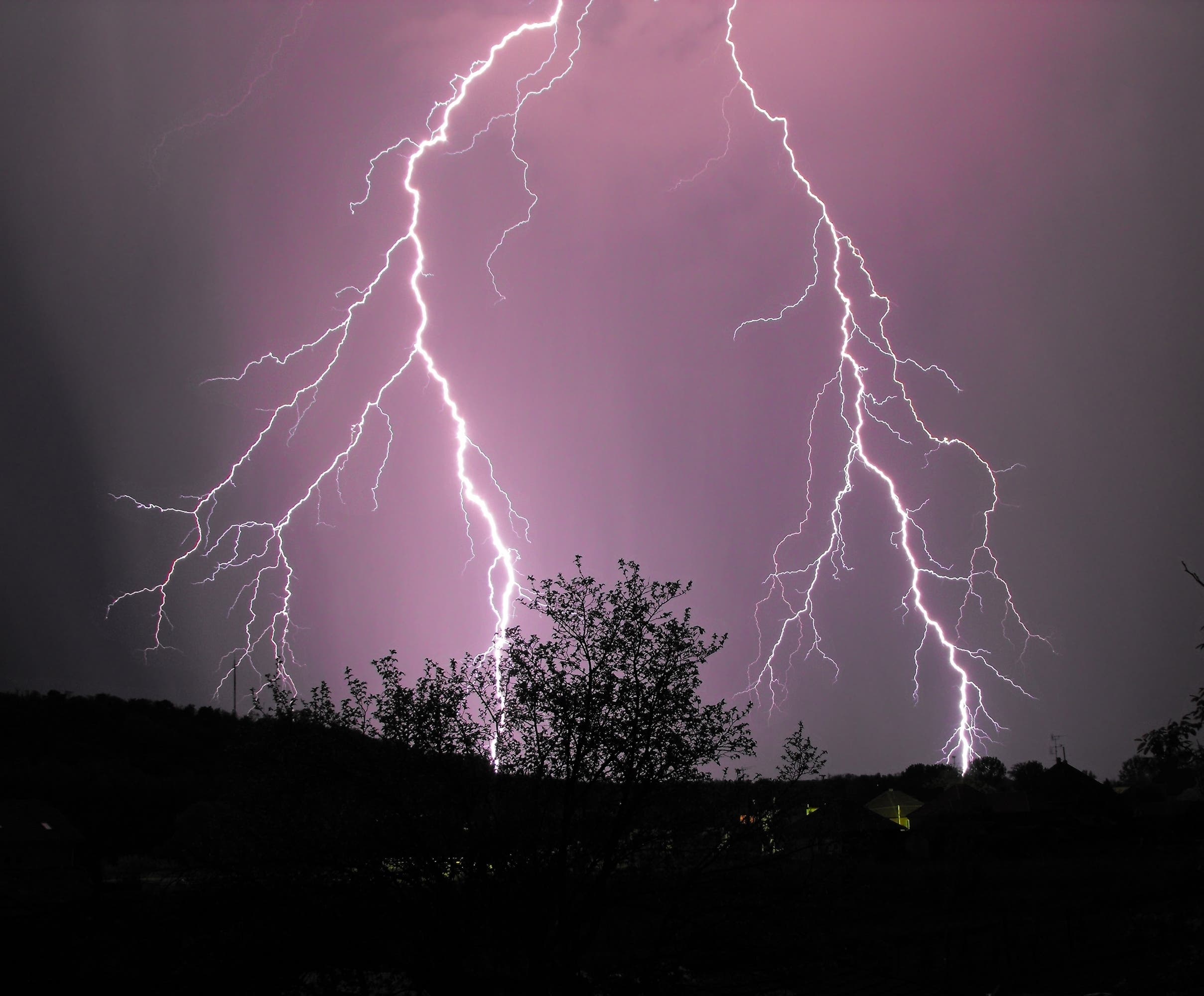
Dangerous lightning and torrid rains are possible with severe thunderstorms forecast for Friday and afternoon and evening. (Photo via shutterstock)
_______________________
Very hot, humid weather is expected to cause severe thunderstorms to boil up over southeast Michigan, starting as early as 4 p.m. Friday and lasting into the evening.
Find out what's happening in Clawsonfor free with the latest updates from Patch.
WXYZ, Channel 7, meteorologist Chris Edwards said the strong storms carry the possibility of heavy rain, lightning, high winds and large hail and “demands our attention.”
Once the rains arrive, motorists should be avoid flood-prone areas, Edwards advised.
Find out what's happening in Clawsonfor free with the latest updates from Patch.
The storm should clear overnight, and the weekend should be splendid with pleasant temperatures in the low- to mid-70s and low humidity.
Here’s Edwards’ forecast for the next 48 hours:
This afternoon: Clouds building, breezy, hot and humid with a 60 percent chance for thunderstorms, mainly between 4 p.m. and 10 p.m. Some storms could be strong or severe with torrential, flooding downpours and damaging winds. Highs: 88-92. Winds: SW 10-20 with a few gusts to 25
Tonight: Continued 60 percent chance of showers and thunderstorms, mainly early, and still warm with lows 62-67 and 10 mph W-NW winds.
Saturday: 30 percent chance of scattered morning showers, then afternoon sunshine with temps 71-75, low humidity and 10-15 NW winds.
Sunday: Again, sunshine, low humidity with early fall-like temperatures 73-77 and light winds.
Get more local news delivered straight to your inbox. Sign up for free Patch newsletters and alerts.