Seasonal & Holidays
Erosion Closes 2nd Pictured Rocks National Lakeshore Viewing Area
Parts of Pictured Rocks National Lakeshore, a stunning geologic tapestry many in the world may never have heard of, are slipping away.


MUNISING, MI — If your summer vacation plans include snapping a selfie along Michigan’s breathtaking Pictured Rocks National Lakeshore, you’ll need to carefully scout your vantage point or abandon the plan altogether. The National Park Service is warning hikers to stay away from the park’s dunes and cliff edges after the second large-scale erosion event in a month in the Grand Sable Dunes area, where multicolored sandstone cliffs stretch for 15 miles along Lake Superior’s south shore.
The unique geological tapestry, created 10,000 years ago by the last glacier, is nature’s eye candy. Groundwater oozes from cracks and trickle down the rock face, taking on the colors of the minerals as it passes through.
Though nature enthusiasts, photographers and tourists have extolled the resulting kaleidoscope — the reds and oranges from iron, blues and greens of copper, browns and blacks of manganese and whites of limonite — the wild, rugged terrain and remote location of Pictured Rocks National Lakeshore limit large-scale tourism. That has spared the park from some of the man-made problems that have resulted in environmental degradation at picturesque destinations like Niagara Falls, Mammoth Cave and the Upper Hudson River Valley, the National Parks Service said.
Find out what's happening in Detroitfor free with the latest updates from Patch.
Instead, the issues at the park are caused by the same force that made Pictured Rocks and the Grand Sable Banks two of the most striking scenic vistas in eastern North America — nature.
Heavy snow, ice and sand deposits, coupled with the destructive force of erosion, caused the Log Slide Overlook viewing platform to slide 100 feet down the face of a sand dune in April, the National Park Service said.
Find out what's happening in Detroitfor free with the latest updates from Patch.
The viewing area, perched 175 feet over Lake Superior atop the towering Grand Sable Dunes, is so named because early logging companies used to slide timber 300 feet down the sand dune to Lake Superior, an important shipping channel. According to legend, if the log chute was dry, the logs would create enough friction to start a fire. “Today the chute is gone, but lumberjack stories still linger as you gaze out over the Grand Sable Banks and Dunes,” according to the park’s website.
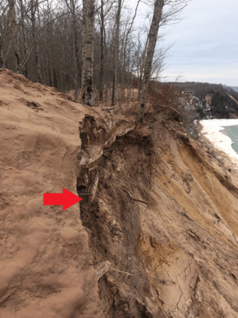
The second Pictured Rocks erosion incident just west of the Log Slide Overlook, reported in early May, also took off a piece of the North Country Trail network, MLive.com reports. The park service say a temporary trail will be marked to bypass the erosion, and that the dunes can still be viewed from the Grand Sable Falls area.
Both spots were popular perches to take in the glorious scenery, together drawing 12,000 tourists in the summer. Visitors this year might feel shortchanged, Pictured Rocks Chief of Interpretation Susan Reece told WLUC-TV
“The area’s continually changing,” Reece said. “There isn't a nice sandy dune that you might see in places like Sleeping Bear Dunes (on Lake Michigan shore on the Lower Peninsula). It's sand and cliffs, clay drop-offs all the way down the over 300 foot face of the dunes.”
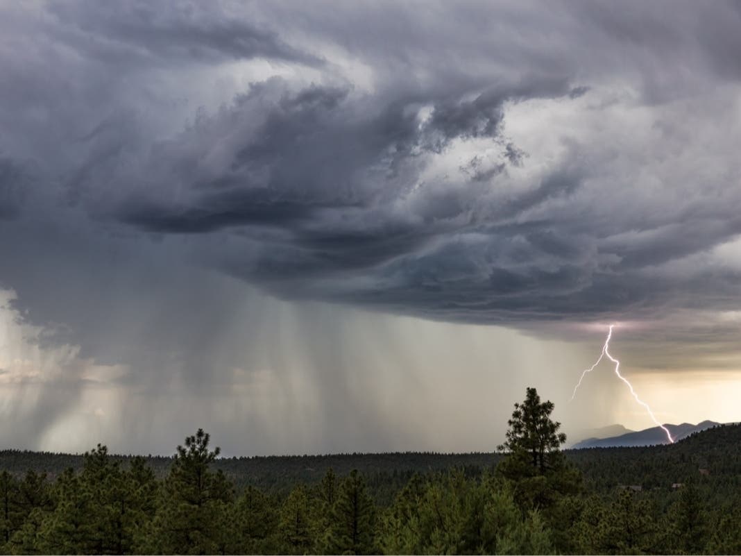
Photo by Upsilon Andromedae via Flickr Commons
Get more local news delivered straight to your inbox. Sign up for free Patch newsletters and alerts.