Weather
Metro Detroit Weather: Severe Thunderstorms, High Heat Returns
Thunderstorms were likely across the metro Detroit region before sweltering heat returns this week, the National Weather Service said.

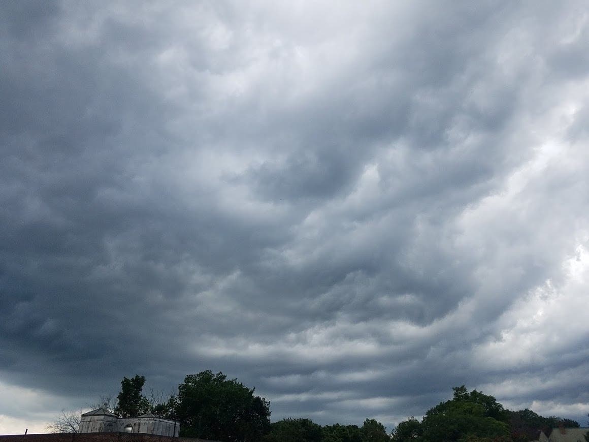
METRO DETROIT — Scattered thunderstorms were expected Monday afternoon in the Metro Detroit region as a cold front sweeps though the area, the National Weather Service said. Meteorologists warned some of these storms could be severe with gusty winds and heavy downpours.
The thunderstorms were expected to roll though the area sometime between 2 and 5 p.m. as Monday's afternoon high hits the mid-80s, the National Weather Service said. A second round of rain showers and thunderstorms was possible Monday night between 8 and 10 p.m.
Any lingering rain showers and thunderstorms will fizzle out before Tuesday morning, as temperatures will begin in the lower 60s before reaching the lower 80s during the afternoon hours, the National Weather Service said.
Find out what's happening in Detroitfor free with the latest updates from Patch.
The comfortable air won't last long however, as high heat and humidity returns Wednesday, pushing temperatures to the mid 90s with heat indexes reaching up around 100 degrees, the National Weather Service said.
Wednesday night also brings another chance for severe thunderstorms, as widespread rain showers were expected to continue into Thursday morning across the metro Detroit area, the National Weather Service said.
Find out what's happening in Detroitfor free with the latest updates from Patch.
Get more local news delivered straight to your inbox. Sign up for free Patch newsletters and alerts.