Community Corner
UPDATED: Forecast Worsens; Wednesday Night Event Canceled.
National Weather Service forecasters issued a winter storm warning early on Wednesday, May 1.


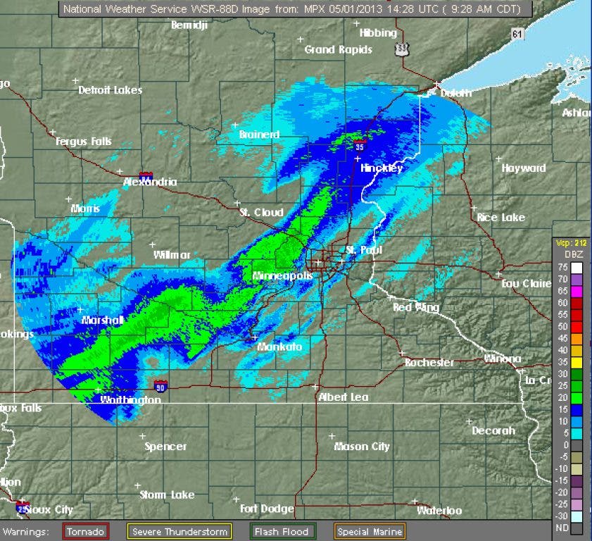
Minnesota weather, famous for its vagaries, may have yet another surprise in store for Twin Cities residents.
National Weather Service forecasters have issued a winter storm warning calling for as many as 9 inches of snow on Wednesday night in a band stretching from Rice Lake, Wis. to Mankato. The targeted area includes the Twin Cities metro area.
The forecasted weather has already forced the cancelation of the Golden Valley Bicycle Rodeo.
Find out what's happening in Hopkinsfor free with the latest updates from Patch.
The new warning, issued early Wednesday morning, is a significant change from previous forecasts, which predicted only 2-4 inches of snowfall on Wednesday. The winter storm warning takes effect at 3 p.m. on Wednesday and runs through 7 p.m. on Thursday.
Forecasters believe rain on Wednesday afternoon will eventually transition into snow, with snowfall rates of 1-2 inches an hour possible.
Find out what's happening in Hopkinsfor free with the latest updates from Patch.
The weater service recommends travel only if necessary. Motorists should keep an extra flashlight, along with food and water in vehicles in case of an emergency.
Here is the text of the Winter Storm Warning that the National Weather Service announced at 3:54 a.m. Wednesday:
RARE MAY SNOW STORM TO IMPACT THE REGION THROUGH THURSDAY
A cold front will stall over southern Wisconsin into central Iowa through tonight. Several areas of low pressure will shift northeast along this front, working within a strong surge of incoming colder air to produce periods of moderate to heavy accumulating snow over the region, mainly this afternoon through midday Thursday.
A winter storm warning is in effect approximately within 50 miles either side of a line from Rice Lake, WI through the Twin Cities metro to Mankato to Blue Earth. Snowfall rates of 1 to 2 inches per hour can be expected mid to late this afternoon and again overnight tonight with total amounts of 6 to 9 inches within this area. ...
The National Weather Service in Twin Cities/Chanhassen has issued a winter storm warning for heavy snow which is in effect from 3 p.m this afternoon to 7 p.m. CDT Thursday.
- Timing: Rain this morning will transition over to snow by mid afternoon. Snow will then continue in periodic bands through tonight and taper off during the day Thursday. Snow may be heavy at times this evening through the early morning hours.
- Snow accumulation: 6–9 inches.
- Other impacts: Rapid snow accumulation may quickly make travel hazardous.
Get more local news delivered straight to your inbox. Sign up for free Patch newsletters and alerts.