Politics & Government
Inver Grove Heights Well-Protected Against Spring Flooding, Officials Say
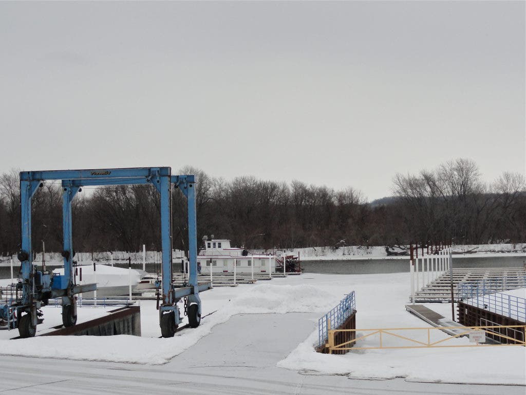
City officials met last week to discuss Inver Grove Heights' defenses against the Mississippi River, which is predicted to flood in April.


Inver Grove Heights City Engineer Tom Kaldunski is watching the weather.
In the wake of a late-February storm that dropped as much as 20 inches of snow across swathes of the Mississippi River basin, the National Weather Service is now predicting that the Mississippi River at St. Paul has at least a 50 percent chance of major flooding during mid- to late-April.
The steadily worsening predictions aren’t news to Inver Grove Heights city officials, who have purchased roughly 5,000 sandbags since January, ordered 300 yards of sand and reserved pumps and hoses to assist in the likely fight against flooding come spring.
Find out what's happening in Inver Grove Heightsfor free with the latest updates from Patch.
Last week, several Inver Grove Heights officials, including Mayor George Tourville, attended a flood preparation meeting in South St. Paul that was visited by Gov. Mark Dayton. On Monday, at an Inver Grove Heights City Council work session, city officials followed up with a lengthy discussion about city’s flood preparation.
“We know it’s going to be a significant flood, we just don’t know how significant,” Kaldunski said after the meeting.
Find out what's happening in Inver Grove Heightsfor free with the latest updates from Patch.
As early as March 8, Kaldunski said, the river could reach “action stage” — at which point city officials will begin sealing off a large gap in the city’s emergency levee at 64th Street east of Concord Boulevard, and begin plugging the large storm sewer outlets that empty into the Mississippi. If left open, the outlets are a potential source of backflow, and could lead to flooding behind the city’s levee, Kaldunski said. The city is also monitoring the National Weather Service’s predictions, and may close the Rock Island Swing Bridge, if the flooding gets severe.
The city is well protected by its emergency levee, which stretches for thousands of feet along the riverfront and stands between the low-lying areas along Doffing Avenue and the river, Kaldunski said. The top of the levee sits at an elevation of 702 to 704 feet above sea level, according to a survey completed by city staff. In the event that flood predictions call for a “100-year flood event,” Kaldunski said, city staff would dump fill on top of a 500-600-foot portion of levee to bring its elevation up to a uniform 704 feet above sea level.
If a 100-year flooding event occurs, Kaldunski said, the waters would reach an elevation of roughly 702 feet above sea level, leaving a two-foot margin between the top of the dike and the river flow. In the unlikely chance that the levee fails, only four residential properties and five commercial businesses in the city’s 100-year flood plain would likely be affected, city officials said. The durable construction of the swing bridge, Kaldunski added, means the bridge likely won’t sustain significant damage in the event of a severe flood.
The city will likely have flood information and resources for local residents posted on its website later this month, Mayor Tourville said.
“Let’s prepare for the worst and hope for the best,” Tourville said at the city’s work session.
WHAT IS A "100-YEAR FLOOD EVENT"
The term "100-year flood" is a bit of a misnomer, according to City Engineer Tom Kaldunski. A 100-year flood does not happen once every 100 years, Kaldunski said. Instead, it is a flood of a certain magnitude that has a 1 percent chance of happening in any year. For a lengthier description, click here.
Get more local news delivered straight to your inbox. Sign up for free Patch newsletters and alerts.