Weather
1 To 3 Inches Of Snow/Ice Mix Set For Twin Cities Metro: MN Weather
A winter weather advisory has been issued for the counties in the Twin Cities metro area. Here's what drivers need to be prepared.


TWIN CITIES, MN — The National Weather Service has issued a winter weather advisory for Hennepin, Anoka, Ramsey, Washington, Dakota, Isanti, and Sherburne counties.
The advisory will be in effect from noon Tuesday to 3 a.m. on Wednesday.
"Mixed precipitation expected. Total snow and sleet accumulations of 1 to 3 inches and ice accumulations of a light glaze," the NWS said in its advisory. "Winds gusting as high as 45 mph."
Find out what's happening in Minneapolisfor free with the latest updates from Patch.
Weather officials said drivers should plan for slippery road conditions, noting that "the hazardous conditions could impact the evening commute."

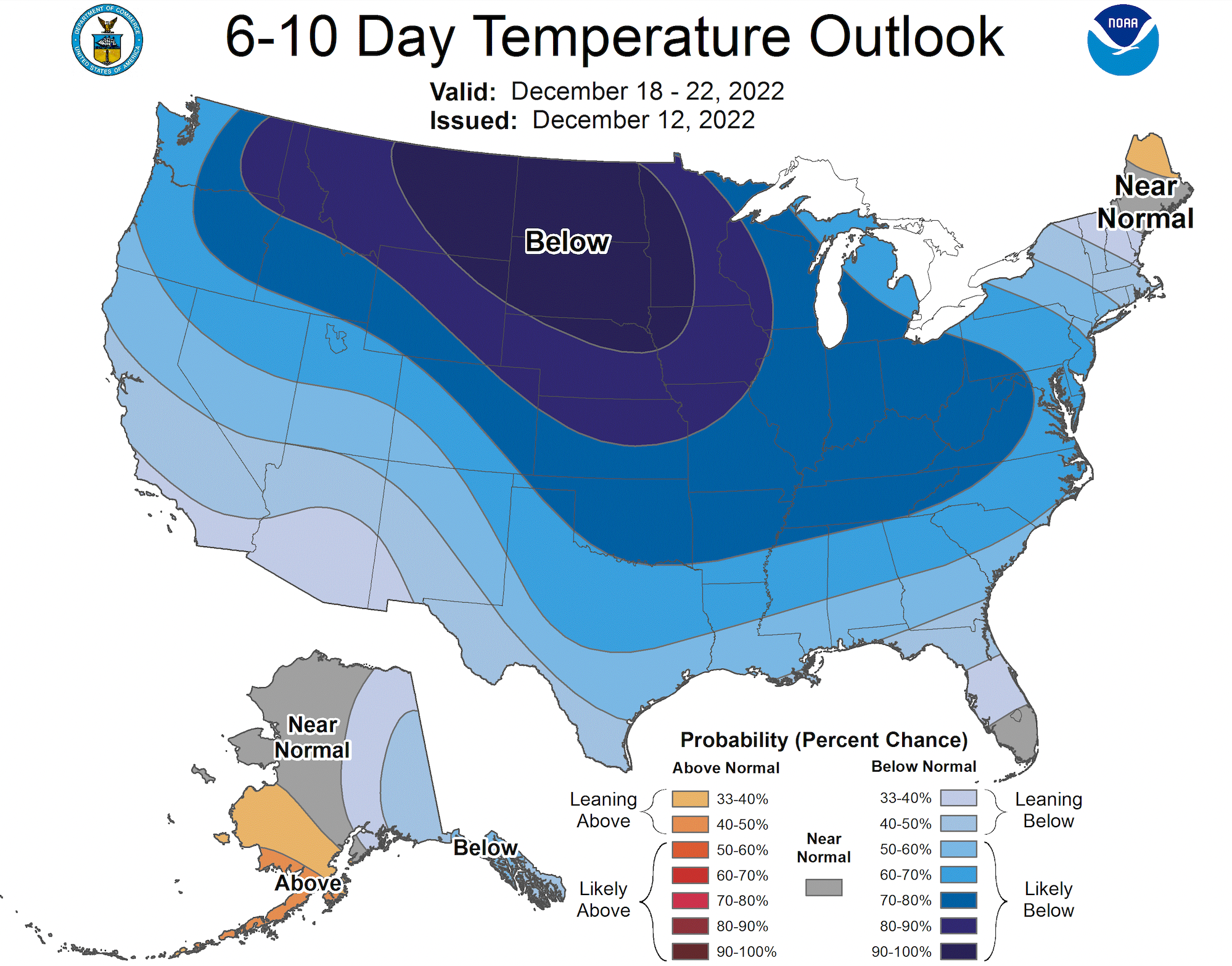
Following this week, temperatures are expected to drop significantly.
Find out what's happening in Minneapolisfor free with the latest updates from Patch.
Here's the full NWS forecast from the Minneapolis-St. Paul Airport:
Tuesday: Rain and sleet likely, possibly mixed with snow before 3pm, then rain and sleet. High near 34. Breezy, with an east southeast wind 20 to 25 mph, with gusts as high as 45 mph. Chance of precipitation is 100%. Total daytime snow and sleet accumulation of less than a half inch possible.
Tuesday Night: Rain and sleet, possibly mixed with snow before 11pm, then rain, possibly mixed with sleet between 11pm and midnight, then rain likely after midnight. Low around 34. Breezy, with an east southeast wind 20 to 25 mph, with gusts as high as 40 mph. Chance of precipitation is 100%. New snow and sleet accumulation of less than a half inch possible.
Wednesday: Areas of drizzle. Cloudy, with a high near 38. Breezy, with an east wind 10 to 20 mph, with gusts as high as 30 mph.
Wednesday Night: Snow likely, possibly mixed with rain before 5am, then snow likely, possibly mixed with rain and freezing rain. Mostly cloudy, with a low around 32. East southeast wind 5 to 10 mph. Chance of precipitation is 70%. Little or no ice accumulation expected. New snow accumulation of less than a half inch possible.
Thursday: Snow before noon, then snow, possibly mixed with rain between noon and 5pm, then snow after 5pm. High near 35. Northeast wind 5 to 10 mph becoming west northwest in the afternoon. Chance of precipitation is 90%. New snow accumulation of 1 to 2 inches possible.
Thursday Night: Snow. Low around 24. West northwest wind around 10 mph. Chance of precipitation is 80%. New snow accumulation of less than a half inch possible.
Friday: A 50 percent chance of snow. Mostly cloudy, with a high near 27. West wind 10 to 15 mph.
Friday Night: A 40 percent chance of snow. Mostly cloudy, with a low around 18. West wind 10 to 15 mph.
Saturday: A 30 percent chance of snow, mainly before noon. Mostly cloudy, with a high near 23. West wind around 15 mph.
Saturday Night: Mostly cloudy, with a low around 12. West wind 10 to 15 mph.
Sunday: Partly sunny, with a high near 20. West wind around 10 mph.
Sunday Night: Mostly cloudy, with a low around 8. West wind 5 to 10 mph.
Monday: A 20 percent chance of snow. Mostly cloudy, with a high near 18. West northwest wind 5 to 10 mph.
Get more local news delivered straight to your inbox. Sign up for free Patch newsletters and alerts.


