
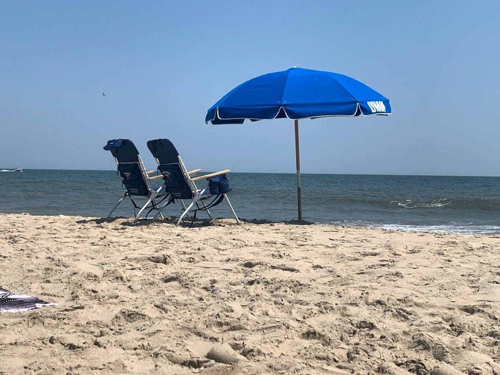
TWIN CITIES, MN — Wednesday will see more heat in the Twin Cities, with highs near 90. The warm weather will continue through this weekend.
Here's the full NWS forecast from the Minneapolis-St. Paul International Airport:
Wednesday Night: Partly sunny, then gradually becoming sunny, with a high near 89. Breezy, with a northwest wind 15 to 20 mph, with gusts as high as 30 mph.
Find out what's happening in Minneapolisfor free with the latest updates from Patch.
Wednesday: Mostly clear, with a low around 70. West northwest wind 10 to 15 mph decreasing to 5 to 10 mph after midnight. Winds could gust as high as 30 mph.
Thursday: Sunny, with a high near 89. Northwest wind 5 to 15 mph, with gusts as high as 25 mph.
Find out what's happening in Minneapolisfor free with the latest updates from Patch.
Thursday Night: Mostly clear, with a low around 69. West northwest wind 5 to 15 mph becoming south after midnight.
Friday: A 20 percent chance of showers. Sunny and hot, with a high near 93. South southwest wind 5 to 10 mph.
Friday Night: A 30 percent chance of showers and thunderstorms, mainly after 1am. Mostly clear, with a low around 71. West southwest wind 5 to 10 mph becoming southeast in the evening.
Saturday: A 50 percent chance of showers and thunderstorms. Mostly sunny, with a high near 88. Southwest wind 5 to 10 mph becoming north in the morning.
Saturday Night: A 30 percent chance of showers, mainly before 1am. Partly cloudy, with a low around 65. North wind 5 to 10 mph.
Sunday: Mostly sunny, with a high near 85. North northwest wind 5 to 10 mph.
Sunday Night: Partly cloudy, with a low around 65. North northwest wind 5 to 10 mph becoming light and variable after midnight.
Get more local news delivered straight to your inbox. Sign up for free Patch newsletters and alerts.


