Weather
Twin Cities Weather: Wind Chill to Fall Below Zero This Week
Winter as we know it will finally come to the Twin Cities this week.

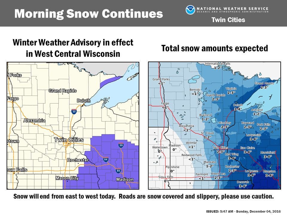
Winter as we know it is finally coming to the Twin Cities this week. Periods of light to moderate snow will persist into early Monday afternoon. Up to an inch of snow accumulation is expected for much of central and eastern Minnesota which may cause slippery travel conditions.
Much colder temperatures are expected Wednesday through the end of the week. Wind chill values will likely drop to between zero and 10 below zero for the latter half of the week.
Monday
Mostly cloudy, with a high near 40. South southeast wind 5 to 10 mph.
Find out what's happening in Minneapolisfor free with the latest updates from Patch.
Monday night
A slight chance of rain before 8 p.m., then a slight chance of rain and snow between 8 p.m. and midnight, then a chance of snow after midnight. Mostly cloudy, with a low around 27. South wind around 10 mph becoming west after midnight. Chance of precipitation is 30 percent.
Find out what's happening in Minneapolisfor free with the latest updates from Patch.
Tuesday
A 20 percent chance of snow before noon. Mostly cloudy, then gradually becoming sunny, with a high near 28. West wind 10 to 15 mph.
Tuesday night
Mostly cloudy, with a low around 16. West wind around 15 mph.
Wednesday
Mostly cloudy, with a high near 17. West wind around 15 mph.
Wednesday night
Mostly cloudy, with a low around 14. West northwest wind around 15 mph.
Thursday
A slight chance of snow before 10am, then a chance of snow showers between 10am and noon, then a slight chance of snow after noon. Mostly cloudy, with a high near 19. West northwest wind around 15 mph. Chance of precipitation is 30 percent.
Thursday night
A 30 percent chance of snow showers before midnight. Mostly cloudy, with a low around 11. Northwest wind around 10 mph.
Friday
Mostly sunny, with a high near 19. West northwest wind 5 to 10 mph.
Friday night
Mostly cloudy, with a low around 14. West northwest wind around 5 mph becoming southeast after midnight.
Saturday
A 30 percent chance of snow. Mostly cloudy, with a high near 20. East wind 5 to 10 mph.
Image via National Weather Service
Get more local news delivered straight to your inbox. Sign up for free Patch newsletters and alerts.


