Weather
Minnesota Weather: Up To 6 Inches Of Snow In Twin Cities
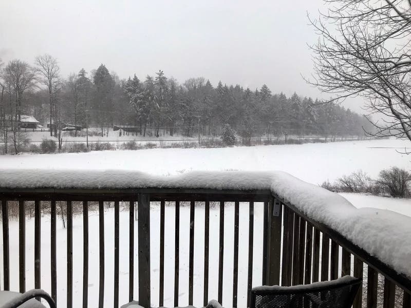
The National Weather Service says Sunday's wet snow may cause tree damage and power outages.

TWIN CITIES, MN — Winter is trying to make a comeback in Minnesota, just in time for Easter Sunday. A winter storm warning is in effect for Dakota County and Washington County, while a winter weather advisory is in effect for the rest of the Twin Cities metro area, including Hennepin, Ramsey counties.
"This will likely be a heavy, wet snow, so some tree damage and power outages could occur due to the combination of gusty winds and the heavy wet snow," states the National Weather Service.
Snow will overspread the area this morning, and continue into this evening. Northeast winds will gust to around 35 mph at times as they shift to the northwest by tonight, producing areas of blowing and drifting snow with reduced visibilities. #mnwx #wiwx pic.twitter.com/3LYiinAWeh
— NWS Twin Cities (@NWSTwinCities) April 12, 2020
Here's the NWS forecast for the Twin Cities metro area:
Find out what's happening in Southwest Minneapolisfor free with the latest updates from Patch.
Sunday: Rain and snow, becoming all snow after 10 a.m. The snow could be heavy at times. Temperature falling to around 32 by 4 p.m. Breezy, with a north wind 10 to 20 mph, with gusts as high as 30 mph. Chance of precipitation is 100 percent. Total daytime snow accumulation of 3 to 5 inches possible.
Sunday Night: Snow, mainly before midnight. The snow could be heavy at times. Patchy blowing snow after 4 a.m. Low around 22. Blustery, with a north northwest wind 15 to 20 mph, with gusts as high as 35 mph. Chance of precipitation is 100 percent. New snow accumulation of 1 to 3 inches possible.
Find out what's happening in Southwest Minneapolisfor free with the latest updates from Patch.
Monday: A slight chance of snow before 7am, then a slight chance of rain and snow showers after 5pm. Mostly sunny, with a high near 38. Breezy, with a west northwest wind 15 to 20 mph, with gusts as high as 30 mph. Chance of precipitation is 10 percent.
Monday Night: Isolated snow showers before 7 p.m. Partly cloudy, with a low around 22. West wind 5 to 15 mph, with gusts as high as 25 mph. Chance of precipitation is 10 percent.
Tuesday: Partly sunny, with a high near 36. West wind 5 to 10 mph.
Tuesday Night: Mostly cloudy, with a low around 21. West wind 5 to 10 mph.
Wednesday: Mostly sunny, with a high near 40. Light west northwest wind increasing to 5 to 10 mph in the afternoon.
Wednesday Night: Mostly cloudy, then gradually becoming mostly clear, with a low around 24. West wind around 5 mph.
Thursday: Mostly sunny, with a high near 46. West northwest wind 5 to 10 mph.
Thursday Night: Mostly cloudy, with a low around 30. West southwest wind 5 to 10 mph.
Friday: Mostly sunny, with a high near 54. West wind 5 to 10 mph.
Friday Night: Partly cloudy, with a low around 33. West wind 5 to 10 mph.
Saturday: Mostly sunny, with a high near 59. Southwest wind 5 to 10 mph.
Get more local news delivered straight to your inbox. Sign up for free Patch newsletters and alerts.


