Weather
Minnesota Weather: Some Snow In Forecast For Twin Cities
You won't have to get the shovels out, but the weather is going to stay cold for the next week in Minnesota.

TWIN CITIES, MN — Minnesotans may wake up on Mother's Day to see a dusting of snow outside. Early Sunday morning will feature chances for snow before the day's rain.
The rest of the week will remain quite cold for May, with several nights reaching near-freezing temperatures.
There's a chance that the Twin Cities could see some measurable snow after midnight Saturday night, which would place it on Mother's Day. Since 1908 the only Mother's Day with measurable snowfall in the Twin Cities was in 1946 with 0.2". #mnwx
— NWS Twin Cities (@NWSTwinCities) May 8, 2020
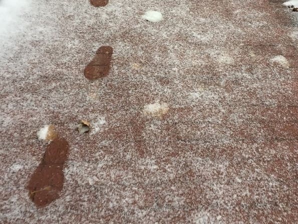
Not only do we have freezing temperatures in the forecast, but we also have some snow Saturday night! Accumulation of an inch or two is possible on the grass along and north of I-94. pic.twitter.com/YGYAtvZ41l
— NWS Twin Cities (@NWSTwinCities) May 8, 2020
Here's the forecast for the Minneapolis-St. Paul metro area:
Find out what's happening in Southwest Minneapolisfor free with the latest updates from Patch.
Friday: Sunny, with a high near 48. North northwest wind around 15 mph, with gusts as high as 25 mph.
Friday Night: Clear, with a low around 33. North northwest wind 10 to 15 mph becoming light and variable in the evening.
Find out what's happening in Southwest Minneapolisfor free with the latest updates from Patch.
Saturday: A 40 percent chance of rain after 4 p.m. Partly sunny, with a high near 58. Light and variable wind becoming south 5 to 10 mph in the afternoon.
Saturday Night: Rain before 2 a.m, then rain and snow likely between 2 a.m. and 4 a.m., then snow likely after 4 a.m. Low around 35. East wind 10 to 15 mph becoming north after midnight. Chance of precipitation is 80 percent. New snow accumulation of less than a half inch possible.
Sunday: Rain and snow likely before 8 a.m., then a slight chance of rain between 8 a.m. and 1 p.m. Mostly cloudy, with a high near 48. North wind 10 to 15 mph. Chance of precipitation is 60 percent. New snow accumulation of less than a half inch possible.
Sunday Night: Partly cloudy, with a low around 34. North northwest wind 5 to 10 mph.
Monday: Sunny, with a high near 53. North northwest wind 5 to 10 mph.
Monday Night: Mostly clear, with a low around 33. West northwest wind 5 to 10 mph.
Tuesday: Mostly sunny, with a high near 56. West northwest wind 5 to 10 mph.
Tuesday Night: Mostly cloudy, with a low around 37. Northwest wind 5 to 10 mph.
Wednesday: A 30 percent chance of showers. Partly sunny, with a high near 61. East northeast wind around 5 mph becoming south southeast in the afternoon.
Wednesday Night: A 50 percent chance of showers. Mostly cloudy, with a low around 46. Southeast wind around 5 mph.
Thursday: A 50 percent chance of showers. Mostly cloudy, with a high near 63. East southeast wind around 5 mph becoming north northeast in the afternoon.
Get more local news delivered straight to your inbox. Sign up for free Patch newsletters and alerts.


