Weather
MN Weather: Twin Cities Metro Will See Warmup This Weekend
Daily high temperatures will continue to rise throughout next week.

TWIN CITIES, MN — Following more bitterly cold temperatures Thursday and Friday, the Twin Cities will see a warmup this weekend that will stretch into next week.
Daily high temperatures will continue to rise throughout next week.
"Below normal temperatures will persist through the end of the week, with mainly dry weather," the National Weather Service said. "Warmer temperatures, and a better chance for some precipitation, will arrive early next week."
Find out what's happening in Southwest Minneapolisfor free with the latest updates from Patch.
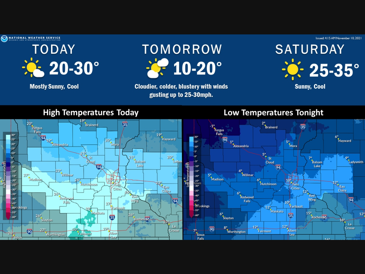
Here's the full NWS forecast for the Twin Cities metro area:
Thursday: Mostly sunny, with a high near 26. West southwest wind 5 to 10 mph.
Find out what's happening in Southwest Minneapolisfor free with the latest updates from Patch.
Thursday Night: Partly cloudy, with a low around 11. South southwest wind 5 to 15 mph.
Friday: Partly sunny, with a high near 17. Blustery, with a west northwest wind 15 to 20 mph, with gusts as high as 30 mph.
Friday Night: Partly cloudy, with a low around -2. Wind chill values as low as -15. Northwest wind 5 to 15 mph.
Saturday: Sunny, with a high near 28. West northwest wind 5 to 10 mph becoming south southwest in the afternoon.
Saturday Night: Partly cloudy, with a temperature rising to around 27 by midnight. South wind around 10 mph.
Sunday: Sunny, with a high near 44. West southwest wind 5 to 10 mph becoming north northwest in the afternoon.
Sunday Night: A slight chance of rain and snow between midnight and 2am, then a slight chance of snow after 2am. Mostly cloudy, with a low around 29. North northwest wind around 5 mph becoming east southeast after midnight. Chance of precipitation is 20%.
Monday: Partly sunny, with a high near 41. East southeast wind 5 to 10 mph becoming north northwest in the afternoon.
Monday Night: Partly cloudy, with a low around 24. North northwest wind 5 to 10 mph becoming south southwest after midnight.
Tuesday: Mostly sunny, with a high near 48. South southwest wind 5 to 10 mph.
Tuesday Night: Mostly cloudy, with a low around 35. South wind around 5 mph.
Wednesday: Mostly cloudy, with a high near 53. South wind 5 to 10 mph becoming west northwest in the afternoon.
Get more local news delivered straight to your inbox. Sign up for free Patch newsletters and alerts.


