Weather
'Please Don't Travel': Blizzard Conditions Across MN Friday
Dangerously cold wind chills and blowing snow will make travel "nearly impossible" at times across Minnesota.

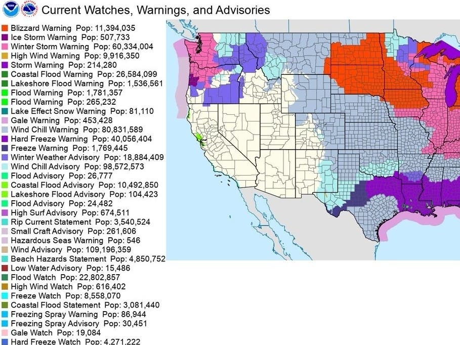
TWIN CITIES, MN — Blizzard conditions will make travel "nearly impossible" on Friday, the National Weather Service said.
"Dangerously cold, with significant blowing and drifting snow making travel nearly impossible today and tonight, especially outside of town in open areas. These conditions are life-threatening if you get stranded. Please don't travel."
Northwest wind gusts Friday are expected to reach up to 50 mph, with some gusts over 50 mph in the areas with blizzard warnings.
Find out what's happening in Southwest Minneapolisfor free with the latest updates from Patch.

Wind chills are expected to reach 32 degrees below zero in the Twin Cities metro area over the course of the next 24 hours:

Here's the full NWS forecast from the Minneapolis-St. Paul Airport:
Find out what's happening in Southwest Minneapolisfor free with the latest updates from Patch.
Friday: Widespread blowing snow, mainly after 5pm. Partly sunny and cold, with a high near -1. Wind chill values as low as -37. Windy, with a northwest wind 25 to 30 mph, with gusts as high as 45 mph.
Friday Night: Widespread blowing snow, mainly before 1am. Mostly cloudy, with a low around -6. Wind chill values as low as -32. Windy, with a northwest wind 30 to 35 mph, with gusts as high as 45 mph.
Saturday: Areas of blowing snow before 5pm. Mostly sunny and cold, with a high near 4. Wind chill values as low as -33. Windy, with a west northwest wind 20 to 30 mph, with gusts as high as 40 mph.
Saturday Night: Mostly clear, with a low around -9. Wind chill values as low as -25. West northwest wind 10 to 15 mph, with gusts as high as 25 mph.
Christmas Day: A 20 percent chance of snow after noon. Increasing clouds, with a high near 7. West northwest wind 5 to 10 mph becoming south southwest in the afternoon.
Sunday Night: A 50 percent chance of snow before midnight. Mostly cloudy, with a low around 0. South southwest wind around 5 mph becoming north northeast after midnight. New snow accumulation of less than a half inch possible.
Monday: Mostly sunny, with a high near 11. North northeast wind around 5 mph becoming west in the afternoon.
Monday Night: Partly cloudy, with a low around 0. West wind 5 to 10 mph becoming south after midnight.
Tuesday: Partly sunny, with a high near 23. South wind 10 to 15 mph.
Tuesday Night: Mostly cloudy, with a low around 19. South wind around 10 mph.
Wednesday: Mostly cloudy, with a high near 36. South southeast wind around 10 mph.
Wednesday Night: A slight chance of rain and snow. Mostly cloudy, with a low around 29. South wind 5 to 10 mph. Chance of precipitation is 20%.
Thursday: A slight chance of rain and snow. Mostly cloudy, with a high near 36. South southwest wind 5 to 10 mph. Chance of precipitation is 20%.
Get more local news delivered straight to your inbox. Sign up for free Patch newsletters and alerts.


