Weather
Severe Thunderstorm Watch In Effect for Twin Cities
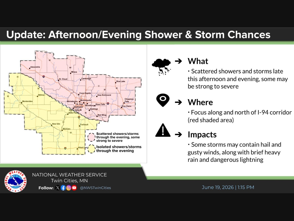
The National Weather Service has issued the watch for the metro and surrounding counties, with wind gusts up to 50 mph possible.

TWIN CITIES, MN — A Severe Thunderstorm Watch is in effect for the Twin Cities metro and surrounding counties until 8 p.m. Friday, as a line of storms sweeps through the region on a Friday evening.
The National Weather Service issued the watch for 12 Minnesota counties, including Hennepin, Ramsey, Dakota, Anoka, Washington, Carver and Scott, as well as six Wisconsin counties, including Pierce and St. Croix.
At around 6 p.m., the NWS said Doppler radar was tracking a line of showers extending from Hugo south to near Hutchinson, moving southeast at 30 mph.
Find out what's happening in Southwest Minneapolisfor free with the latest updates from Patch.
The agency warned of an outflow boundary capable of producing wind gusts up to 50 mph, which could knock down tree limbs and blow around unsecured objects.
Current conditions at Minneapolis-St. Paul International Airport showed a thunderstorm in progress.
Find out what's happening in Southwest Minneapolisfor free with the latest updates from Patch.
The NWS said storms capable of marginally severe hail and gusty winds were possible through the early evening. Showers are expected to taper off overnight, with skies gradually clearing. Lows Friday night are forecast near 52 degrees.
The weekend is expected to be much calmer. Saturday brings mostly sunny skies and a high near 75, with northwest winds at 5 to 10 mph. Sunday will be mostly sunny in the morning before clouds increase, again with a high near 75.
Residents are advised to monitor weather conditions closely and bring in or secure any unsecured outdoor items ahead of the storms.
Get more local news delivered straight to your inbox. Sign up for free Patch newsletters and alerts.


