Weather
Snow Begins Falling In Twin Cities Friday: Photos
Winter weather has officially arrived in Minnesota Friday.

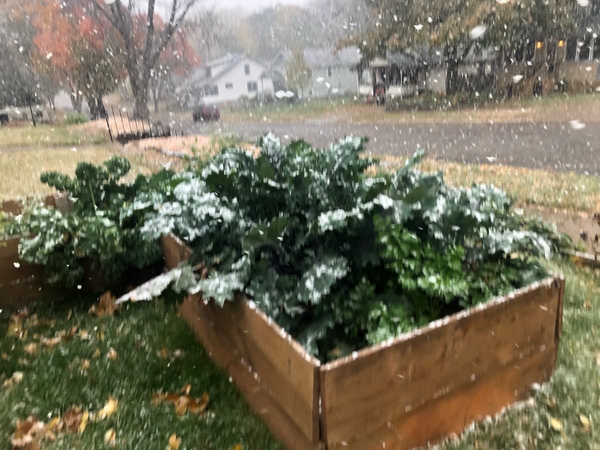
TWIN CITIES, MN — Don't say we didn't warn you. Snow has begun falling in the Minneapolis-St. Paul metro area Friday, just in time for the morning commute. Large, wet flakes may blanket the grass for a bit, but it's likely to melt by the afternoon.
Motorists should remember to turn on their lights and slow down while out and about this weekend.
Say it ain't snow!Many of us are waking up to a quick burst of snow (and rain) showers this morning. A light coating on grassy and elevated surfaces is possible. The good news? Any snow will quickly melt as temperatures warm up this morning. #mnwx #wiwx pic.twitter.com/XAPMPdtPyF
— NWS Twin Cities (@NWSTwinCities) October 16, 2020
First flakes of the year at our office in Chanhassen. pic.twitter.com/ed5BVvSbTq
— NWS Twin Cities (@NWSTwinCities) October 16, 2020

We don't mind a little snow with our vote... We're Minnesotans! Because we know it's October (and maybe too early to see this sight), don't fret, the snow only lasted about 2 minutes! The Early Vote Center is open today until 4:30 p.m - come on down to 980 E. Hennepin Ave. pic.twitter.com/XG7YZt0rGo
— Minneapolis Elections & Voter Services (@VoteMpls) October 16, 2020
Here's the rest of the National Weather Forecast for this weekend and into next week:
Find out what's happening in Southwest Minneapolisfor free with the latest updates from Patch.
Friday: Rain and snow showers likely before 11am, then a chance of rain showers between 11am and 3pm. Cloudy, then gradually becoming mostly sunny, with a high near 44. West wind 10 to 15 mph. Chance of precipitation is 70%. Little or no snow accumulation expected.
Friday Night:Showers likely, mainly after 3am. Increasing clouds, with a low around 35. Light and variable wind becoming southeast 5 to 10 mph after midnight. Chance of precipitation is 70%.
Saturday: A 30 percent chance of showers, mainly before 10am. Cloudy, then gradually becoming mostly sunny, with a high near 56. Southeast wind 10 to 15 mph becoming west in the afternoon.
Saturday Night: A slight chance of rain and snow showers between 1am and 4am, then a slight chance of snow showers after 4am. Mostly cloudy, with a low around 31. Northwest wind 10 to 15 mph. Chance of precipitation is 20%.
Sunday: Mostly sunny, with a high near 40. West northwest wind around 10 mph.
Sunday Night: Partly cloudy, with a low around 27. West northwest wind around 5 mph.
Monday: A 20 percent chance of showers after 1pm. Partly sunny, with a high near 41. West wind around 5 mph.
Monday Night: A slight chance of rain showers before 8pm, then a slight chance of rain and snow showers between 8pm and midnight, then a slight chance of snow showers after midnight. Mostly cloudy, with a low around 30. Southeast wind around 5 mph becoming calm in the evening. Chance of precipitation is 20%.
Tuesday: A chance of snow showers before 10am, then a chance of rain and snow showers between 10am and noon, then a chance of rain showers after noon. Partly sunny, with a high near 43. Calm wind becoming south southeast around 5 mph in the morning. Chance of precipitation is 30%.
Tuesday Night: Mostly cloudy, with a low around 32. Southwest wind around 5 mph.
Wednesday: Partly sunny, with a high near 47. South southwest wind 5 to 10 mph.
Wednesday Night: A 20 percent chance of showers. Mostly cloudy, with a low around 37. South southeast wind around 5 mph.
Thursday: A 30 percent chance of showers. Partly sunny, with a high near 47. South southeast wind 5 to 10 mph becoming northwest in the afternoon.
Get more local news delivered straight to your inbox. Sign up for free Patch newsletters and alerts.


