Weather
Snowy Weekend Ahead For Twin Cities: Here's What To Expect
Thursday night and Friday's wind chill will fall to 30 degrees below zero. Meanwhile, several rounds of snow are likely for the metro.

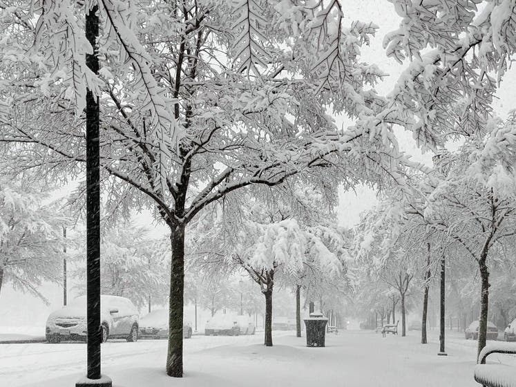
TWIN CITIES, MN — The weekend ahead will bring both cold temperatures and shovelable snow. Friday night could see between 1 and 3 inches of snow. Saturday, Sunday, and Monday will all also see chances for snow.
Meanwhile, the wind chills will be dangerously low. Thursday night and Friday's wind chill will fall to 30 degrees below zero.
Here's the full National Weather Service forecast for the Twin Cities metro area:
Find out what's happening in Southwest Minneapolisfor free with the latest updates from Patch.
Thursday: Sunny and cold, with a high near 1. Wind chill values as low as -22. North northwest wind around 5 mph becoming west southwest in the afternoon.
Thursday Night: Clear, with a low around -13. Wind chill values as low as -29. Calm wind becoming south around 5 mph after midnight.
Find out what's happening in Southwest Minneapolisfor free with the latest updates from Patch.
Friday: Sunny, with a high near 15. Wind chill values as low as -30. Breezy, with a south wind 10 to 15 mph increasing to 15 to 20 mph in the afternoon. Winds could gust as high as 35 mph.
Friday Night: Snow, mainly before midnight. Temperature rising to around 19 by 1am. South wind 10 to 15 mph becoming west northwest after midnight. Winds could gust as high as 30 mph. Chance of precipitation is 90%. New snow accumulation of 1 to 3 inches possible.
Saturday: Mostly sunny, with a temperature falling to around 10 by 5pm. West northwest wind 5 to 15 mph.
Saturday Night: Snow. Steady temperature around 8. West wind around 5 mph becoming east northeast after midnight. Chance of precipitation is 80%. New snow accumulation of 1 to 3 inches possible.
Sunday: Mostly sunny, with a high near 12. North wind around 5 mph becoming calm in the morning.
Sunday Night: Snow likely, mainly after midnight. Mostly cloudy, with a temperature rising to around 14 by 5am. South wind around 5 mph. Chance of precipitation is 70%.
Monday: A 30 percent chance of snow before noon. Partly sunny, with a high near 20. South wind 5 to 10 mph becoming north northwest in the morning.
Monday Night: Partly cloudy, with a low around -8. North northwest wind around 10 mph.
Tuesday: Sunny and cold, with a high near 3. North northwest wind 5 to 10 mph.
Tuesday Night: Mostly clear, with a low around -14. West northwest wind around 5 mph.
Wednesday: Mostly sunny, with a high near 8. South southwest wind around 5 mph.
Get more local news delivered straight to your inbox. Sign up for free Patch newsletters and alerts.


