Business & Tech
MAP: See iPhone vs. Android Users in STMA
Tiny colored dots on a black background show who in St. Michael-Albertville has which kind of phone.

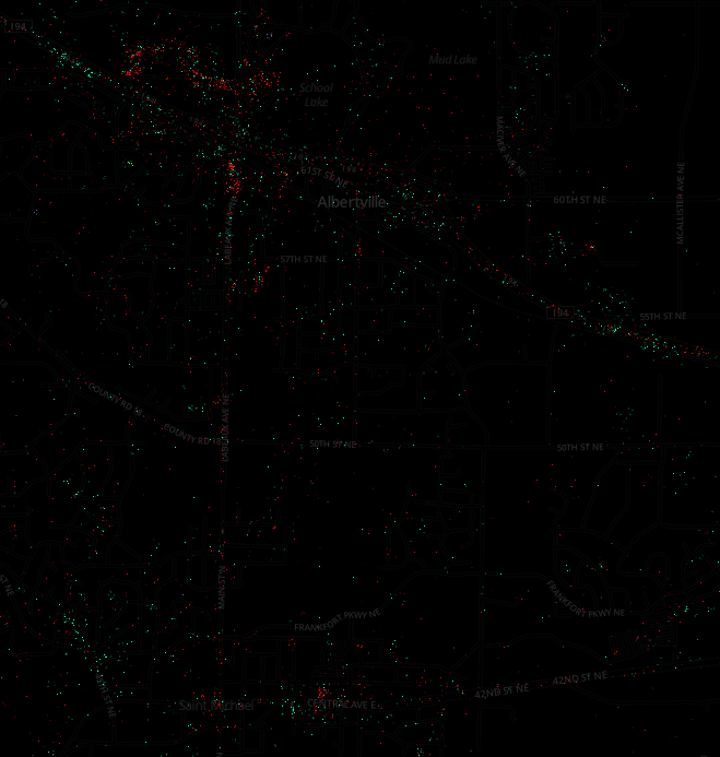
In this map, iPhone users are red dots and Android users are green. The overall map of Minnesota is mostly black background, but you can zoom in to see community closeups (such as St. Michael-Albertville, above or at MapBox.com.)
The dots come from tweets made from cell phones that include location. TheAtlanticCities.com interprets the maps as making a picture of the differences in types of phones as indications of income levels in various areas:
That picture comes from a new series of navigable maps visualizing some three billion global, geotagged tweets sent since September of 2011, developed by Gnip, MapBox and dataviz guru Eric Fischer. They've converted all of that data from the Twitter firehose (this is just a small fraction of all tweets, most of which have no geolocation data) into a series of maps illustrating worldwide patterns in language and device use, as well as between people who appear to be tourists and locals in any given city.
Read the full post at TheAtlanticCities.com.
Want to compare Lake Minnetonka to other parts of the country? Start with the map of the United States and zoom in from there.
Get more local news delivered straight to your inbox. Sign up for free Patch newsletters and alerts.