Community Corner
Observing Latest Stage Of Meramec River at Eureka
Predictions project a crest of water levels on Thursday evening.

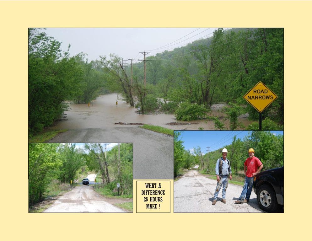
Following are flood-related impacts on Eureka as cited by National Weather Service experts. As of 4:30 p.m. today, The Meramec River is expected to crest on Thursday around 7 p.m. at 24 feet. The river currently is at 22.75 feet.
FEET IMPACT 42.9 This is the RECORD FLOOD LEVEL that was reached on December 6, 1982. 39.2 Highway 109 at Eureka Senior High School is closed. 39 The right bank begins to overflow. 35.9 This flood level was set on September 26, 1993. 34 Coachman Trailer Sales Company begins to flood. Also, shelters and roads within Route 66 State Park are flooded at this level. 33 Numerous homes on West Spring River Ranch Road begin flooding at or slightly above this level. 31.5 At this height, about 12 houses on Willman Road start flooding the main floors. On the river's north side, another 8 homes along West Spring River Ranch Road begin flooding. 30 Near this height, the Eureka Senior High School football field begins flooding. 27 The lowest house on West Spring River Ranch Road begins flooding on the lower level. 26 The Route 66 State Park road to the equestrian trailhead and to the boat ramp is flooded. 25 Moderate flooding begins. 21 Willman Road near the Highway 109/W bridge becomes inundated and impassable. Above this height, Willman Road residents generally use boats to leave their property. 20 West Spring River Road becomes inundated at this height. At this level all cars must be moved off the road to higher ground. 18 Flood Stage. Minor flooding begins.
Find out what's happening in Eureka-Wildwoodfor free with the latest updates from Patch.
Get more local news delivered straight to your inbox. Sign up for free Patch newsletters and alerts.