Community Corner
Alert: Freezing Rain, Sleet Coming Back to NH
NWS: The Thursday morning commute around the Granite State could be difficult due to icy, slippery roads.

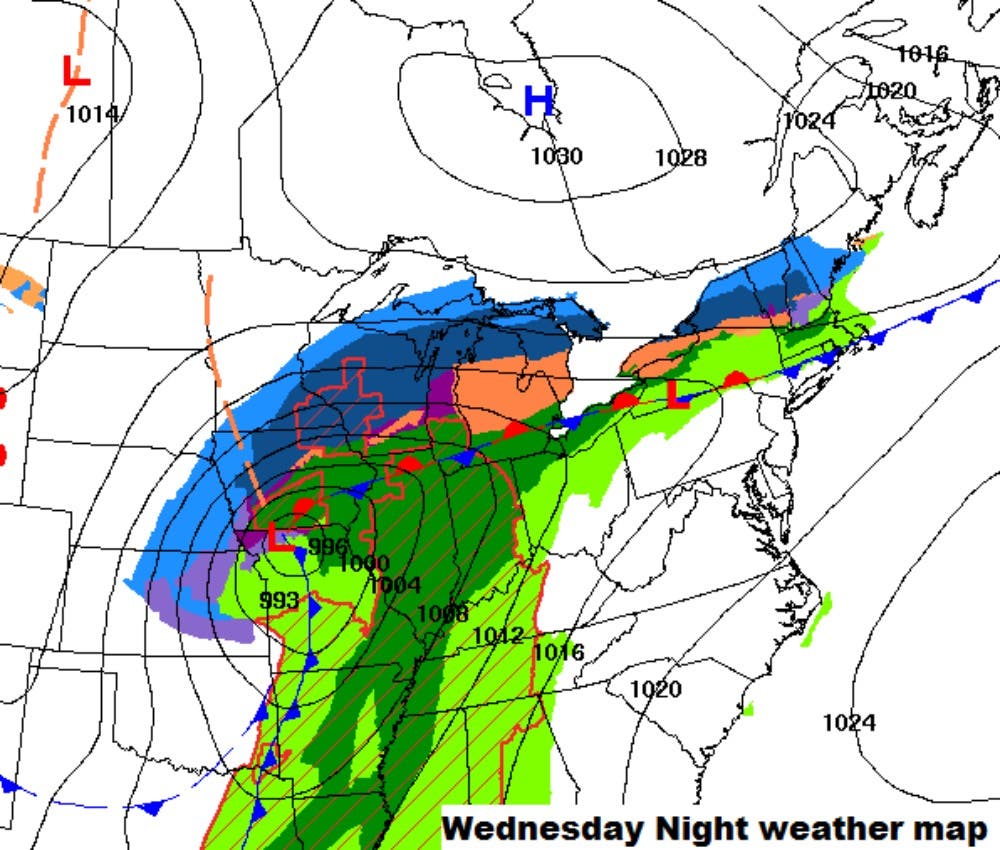
The National Weather Service issued a hazardous weather outlook on March 23, 2016, for most of the state of New Hampshire, including Merrimack and Hillsborough counties, and both interior and coastal Rockingham County, warning of slick roads tonight and tomorrow due to a storm moving into New Hampshire tonight.
A cold front is pressing south. The front has gone through Gray and will move through Portland shortly. There is a big...
Posted by US National Weather Service Gray ME on Wednesday, March 23, 2016
Light rain and sleet are expected this evening with a mix of snow and sleet later tonight. Forecasters are expecting the precipitation to change to freezing rain by early Thursday morning.
Find out what's happening in Amherstfor free with the latest updates from Patch.
“A frontal boundary will become stationary across New England later today through Thursday,” according to the NWS alert, “with waves of low pressure moving along the front. This will cause periods of light snow, sleet, and freezing rain.”
Ice amounts are expected to be generally under a quarter of an inch but slippery travel is expected for tonight and Thursday morning commute.
Find out what's happening in Amherstfor free with the latest updates from Patch.
NH Patch will have a weekend forecast up tomorrow. Also, don't forget: the latest weather conditions and forecasts are available on the front page of every Patch.com website including the 12 New Hampshire Patch news and community websites.
Graphic courtesy of the National Weather Service.
Get more local news delivered straight to your inbox. Sign up for free Patch newsletters and alerts.