Community Corner
T-Storms on Tuesday in Merrimack?
Possibly, as well as the rest of New Hampshire, according to weather forecasters.

The National Weather Service has issued a hazardous weather outlook for the Granite State warning that there is a possibility that strong, potentially severe thunderstorms could hit the region on Tuesday afternoon and evening, according to an alert on Sunday afternoon.
AccuWeather.com is predicting that it will be a bit cooler this week due to a backdoor cold front heading into the region. The temperature difference could be as much as 15 degrees lower than today’s highs, which reached the mid-80s in some parts of the state. By the Memorial Day weekend though, it should be warm again.
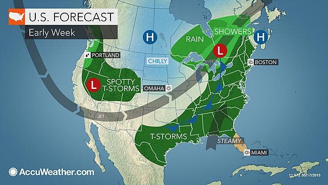
Here’s the weather forecast for this week.
Find out what's happening in Merrimackfor free with the latest updates from Patch.
Expect party sunny skies on Monday with highs in the mid-60s. Overnight, there’s a 40 percent chance of showers with temps in the low 50s.
On Tuesday, more rain is expected, with thunderstorms heading into the late afternoon. Highs will be in the low 70s. Rain is expected to continue into the evening with temps in the 50s.
Find out what's happening in Merrimackfor free with the latest updates from Patch.
The sun returns on Wednesday with highs in the mid-60s.
On Thursday, it will be a bit warmer, with temps in the lower 70s.
The weekend is also looking good.
Get more local news delivered straight to your inbox. Sign up for free Patch newsletters and alerts.