Weather
Heavy Rain, Thunderstorms Moving Through NJ: More Showers Expected This Weekend
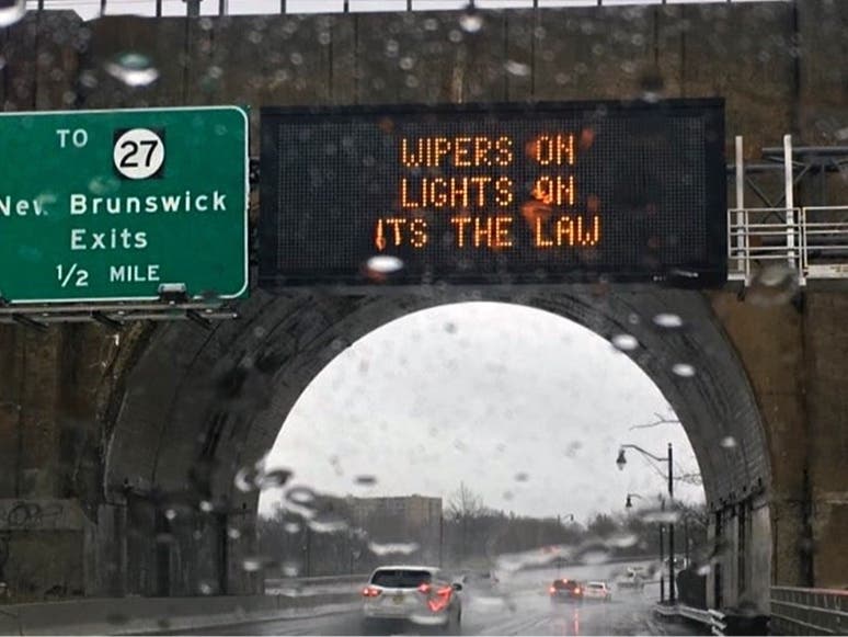
Slow-moving showers and thunderstorms are developing across parts of the state on Friday. Sunday could also see heavy rain in New Jersey.

NEW JERSEY — Slow-moving showers and thunderstorms have developed across parts of the state on Friday, say forecasters as of 3 p.m.
Flooding and wind damage are also possible as a result of thunderstorms. Forecasters also say the weekend will bring more wet, stormy weather in the northeastern U.S.
On Friday, locally heavy rain may occur with a cold front approaching from the west, which is set to arrive in New Jersey by the early evening.
Find out what's happening in Across New Jerseyfor free with the latest updates from Patch.
“Although some thunderstorms may produce gusty winds of 35 to 45 mph, the main threat will be heavy rain,” said forecasters with the National Weather Service. “Any storms that go up will not have much movement, resulting (in) the potential for localized flooding.”
Friday’s chance of measurable rain will be most prevalent in the western portions of New Jersey including Sussex, Trenton, Somerville, and Parsippany, forecasters added. Some thunderstorms are possible in northeastern New Jersey as well, according to the NWS office in New York.
Find out what's happening in Across New Jerseyfor free with the latest updates from Patch.

Muggy conditions will continue as well, with temperatures in the mid-to-upper 80s (a little cooler near the coastal regions, with some wind coming off the water). Heat index values are in the low-to-mid 90s with the humidity.
In replies to social media users, the NWS said there may be a brief break from the humidity “maybe for a few days next week.”
There’s a chance of spotty thunderstorms again Saturday as this core of hot, humid air prepares to exit the area and another system of storms approaches, Accuweather.com forecasters said. The front will move in from the central U.S. where it is expected to “set of locally severe thunderstorms and torrential downpours over the middle of the nation.”
"Most of the time through Saturday will be free of rain in the Northeast, even where pop-up thunderstorms develop in the afternoon and evening hours," Accuweather said.
That will change Sunday, forecasters predict. As the storm turns northeast Sunday morning, it could pick up extra moisture from the Gulf of Mexico and the Atlantic Ocean, with the potential for heavy rain Sunday from Philadelphia to New York City. Rainfall rates could reach two inches per hour as the system moves along Sunday, Accuweather forecasters said.
“Travel conditions are likely to deteriorate from southwest to northeast across the Northeast states from Sunday into Sunday night,” said Accuweather in their weekend forecast.
Here’s a look at the forecast through the weekend from the National Weather Service around New Jersey.
North Jersey
Friday: Scattered showers and thunderstorms, mainly after 5pm. Partly sunny, with a high near 87. Southeast wind 5 to 7 mph. Chance of precipitation is 30 percent.
Friday night: Scattered showers and thunderstorms, mainly before 8pm. Mostly cloudy, with a low around 71. South wind around 6 mph becoming calm after midnight. Chance of precipitation is 30 percent.
Saturday: A 30 percent chance of showers and thunderstorms after 2pm. Mostly cloudy, with a high near 87. Calm wind becoming south 5 to 7 mph in the afternoon.
Saturday night: A 30 percent chance of showers and thunderstorms, mainly after 2am. Mostly cloudy, with a low around 71. Southeast wind 3 to 6 mph.
Sunday: A chance of showers and thunderstorms, then showers likely and possibly a thunderstorm after 2pm. Mostly cloudy, with a high near 81. Southeast wind 5 to 8 mph. Chance of precipitation is 70 percent. New rainfall amounts between a half and three quarters of an inch possible.
Sunday night: Showers likely and possibly a thunderstorm. Mostly cloudy, with a low around 69. Chance of precipitation is 70 percent. New precipitation amounts between 1 and 2 inches possible.
Central Jersey
Friday: Partly sunny. A chance of showers and thunderstorms this afternoon. Some thunderstorms may produce gusty winds, frequent lightning, and heavy rainfall this afternoon. Hot with highs in the upper 80s. East winds 5 to 10 mph. Chance of rain 50 percent.
Friday night: Mostly cloudy. A chance of showers and thunderstorms, mainly in the evening. Patchy fog after midnight. Some thunderstorms may produce gusty winds, frequent lightning, and heavy rainfall in the evening. Humid with lows around 70. Southeast winds 5 to 10 mph. Chance of rain 50 percent.
Saturday: Patchy fog in the morning. Mostly cloudy in the morning, then partly sunny with a chance of showers and thunderstorms in the afternoon. Hot with highs in the mid 80s. Southeast winds around 5 mph. Chance of rain 40 percent.
Saturday night: A chance of thunderstorms in the evening. Mostly cloudy with a chance of showers. Humid with lows in the upper 60s. Southeast winds around 5 mph. Chance of rain 40 percent.
Sunday: Mostly cloudy. A chance of showers in the morning, then showers and thunderstorms likely in the afternoon. Some thunderstorms may produce heavy rainfall in the afternoon. Humid with highs around 80. Southeast winds 5 to 10 mph. Chance of rain 70 percent.
Sunday night: Thunderstorms likely. Showers likely. Some thunderstorms may produce heavy rainfall. Lows in the upper 60s. Chance of rain 70 percent.
South Jersey
Friday: A chance of showers and thunderstorms, mainly after 3pm. Some of the storms could produce gusty winds, heavy rain, and frequent lightning. Partly sunny, with a high near 88. Northeast wind 5 to 10 mph becoming southeast in the afternoon. Chance of precipitation is 30 percent. New rainfall amounts of less than a tenth of an inch, except higher amounts possible in thunderstorms.
Friday night: A chance of showers and thunderstorms, mainly before 8pm. Patchy fog after midnight. Otherwise, mostly cloudy, with a low around 70. Southeast wind around 5 mph. Chance of precipitation is 30 percent. New precipitation amounts of less than a tenth of an inch, except higher amounts possible in thunderstorms.
Saturday: A chance of showers and thunderstorms, mainly after 2pm. Partly sunny, with a high near 85. Calm wind becoming south around 5 mph in the afternoon. Chance of precipitation is 30 percent.
Saturday night: A chance of showers and thunderstorms. Mostly cloudy, with a low around 69. South wind around 5 mph becoming calm after midnight. Chance of precipitation is 30 percent.
Sunday: A chance of showers, then showers and thunderstorms likely after 11am. Some of the storms could produce heavy rain. Mostly cloudy, with a high near 83. Southeast wind 5 to 10 mph. Chance of precipitation is 70 percent. New rainfall amounts between a half and three quarters of an inch possible.
Sunday night: Showers and thunderstorms likely, mainly before 2am. Some of the storms could produce heavy rain. Mostly cloudy, with a low around 68. Chance of precipitation is 60 percent. New rainfall amounts between a half and three quarters of an inch possible.
Get more local news delivered straight to your inbox. Sign up for free Patch newsletters and alerts.