Weather
State Of Emergency Declared Ahead Of NJ Winter Storm
A winter storm warning was issued Saturday for several New Jersey counties. Up to 8 inches of snow are expected in parts of the state.


NEW JERSEY — Gov. Phil Murphy has declared a state of emergency ahead of the incoming winter storm that could dump up to 8 inches of snow on parts of New Jersey.
In a statement released Saturday afternoon, Murphy said the state of emergency will go into effect at 8 a.m. Sunday and was issued in anticipation of "significant winter weather, causing hazardous weather conditions including heavy snow and dangerously low temperatures."
"Beginning tomorrow morning, we are expecting a winter storm to bring heavy snow, followed by dangerously low temperatures expected on Monday and continuing through Wednesday," Murphy said. "As always, I urge all New Jerseyans to use caution, follow all safety protocols, and remain off the roads unless absolutely necessary."
Find out what's happening in Across New Jerseyfor free with the latest updates from Patch.
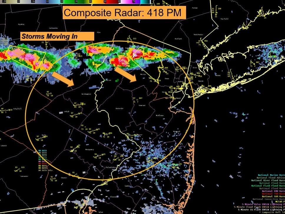
The timing of the coming storm moved Saturday, with snowfall expected to start as early as Sunday morning. The snow, which could be heavy at times, is predicted to continue through late Sunday night, according to the National Weather Service.
On Saturday, NWS forecasters issued a winter storm warning for the following counties: Hunterdon, Morris, Passaic, Sussex, Warren and the western portions of Bergen, Essex and Union. The warning is in effect from 10 a.m. Sunday until 1 a.m. Monday.
Find out what's happening in Across New Jerseyfor free with the latest updates from Patch.
"Widespread snowfall accumulations, with snowfall rates potentially exceeding 1 inch per hour, may lead to snow-covered roads and difficult travel," forecasters said.
According to the latest forecast, North Jersey is predicted to see the most snow at 6 to 8 inches. Interior Central Jersey could see 4 to 6 inches of snow, and the snowfall totals decrease as you head closer to the coast. South Jersey is expected to see 1 to 2 inches.
"This will likely end up being the first general snowstorm for the Interstate 95 corridor for the mid-Atlantic and New England, as storms this winter have not hit all of the areas with significant snow all at once," AccuWeather Senior Meteorologist Tom Kines said.
After the snow, bitter cold will descend upon the region. Temperatures will plummet Sunday night, and remain cold through the week. High temperatures will be mainly in the teens and low 20s with lows in the single digits.
The coldest period will be Monday night through Thursday morning with forecasters eyeing the chance of another round of snow Tuesday night.
Here's the latest forecast from the National Weather Service:
North Jersey
Saturday: Showers likely, mainly after 1pm. Cloudy, with a high near 40. South wind 3 to 7 mph. Chance of precipitation is 70%. New precipitation amounts of less than a tenth of an inch possible.
Saturday Night: A 20 percent chance of showers before 10pm. Mostly cloudy, with a low around 28. Calm wind becoming northwest around 6 mph after midnight.
Sunday: Snow, mainly after 10am. High near 32. Wind chill values between 20 and 25. North wind 7 to 9 mph, with gusts as high as 21 mph. Chance of precipitation is 90%. New snow accumulation of 3 to 7 inches possible.
Sunday Night: Snow likely, mainly before 1am. Cloudy, then gradually becoming partly cloudy, with a low around 13. Wind chill values between zero and 5. Northwest wind 9 to 11 mph, with gusts as high as 26 mph. Chance of precipitation is 70%. New snow accumulation of 1 to 3 inches possible.
Monday: Mostly sunny, with a high near 23. West wind 9 to 11 mph, with gusts as high as 22 mph.
Monday Night: Mostly clear, with a low around 4.
Tuesday: Increasing clouds and cold, with a high near 17.
Central Jersey
Saturday: Showers likely, mainly between 11am and 4pm. Cloudy, with a high near 45. South wind 5 to 10 mph. Chance of precipitation is 60%. New precipitation amounts of less than a tenth of an inch possible.
Saturday Night: Scattered showers before 7pm. Mostly cloudy, with a low around 30. Southwest wind around 5 mph becoming northwest after midnight. Chance of precipitation is 30%. New precipitation amounts of less than a tenth of an inch possible.
Sunday: Snow, possibly mixed with rain and sleet before 2pm, then snow, possibly mixed with rain. The snow could be heavy at times. High near 34. North wind 5 to 10 mph. Chance of precipitation is 90%. New snow and sleet accumulation of 2 to 4 inches possible.
Sunday Night: Snow likely, mainly before 7pm. Cloudy during the early evening, then gradual clearing, with a low around 17. Northwest wind 10 to 15 mph. Chance of precipitation is 60%. New snow accumulation of less than one inch possible.
Monday: Mostly sunny, with a high near 24. West wind 10 to 15 mph, with gusts as high as 25 mph.
Monday Night: Mostly clear, with a low around 4.
Tuesday: Partly sunny, with a high near 17.
South Jersey
Saturday: Scattered showers, mainly before 1pm. Cloudy, with a high near 47. South wind 5 to 10 mph. Chance of precipitation is 40%. New precipitation amounts of less than a tenth of an inch possible.
Saturday Night: Mostly cloudy, with a low around 31. Calm wind becoming northwest around 5 mph after midnight.
Sunday: A chance of rain before 11am, then rain and snow. High near 36. Northeast wind 5 to 10 mph. Chance of precipitation is 80%. New snow accumulation of less than a half inch possible.
Sunday Night: Snow likely, mainly before 7pm. Cloudy during the early evening, then gradual clearing, with a low around 18. Northwest wind around 15 mph. Chance of precipitation is 60%. New snow accumulation of less than a half inch possible.
Monday: Mostly sunny, with a high near 25. West wind 10 to 15 mph, with gusts as high as 25 mph.
Monday Night: Mostly clear, with a low around 5.
Tuesday: Partly sunny, with a high near 19.
Get more local news delivered straight to your inbox. Sign up for free Patch newsletters and alerts.