Weather
Weather Triple Threat In NJ: Fire Danger, Flooding, Air Quality Alert
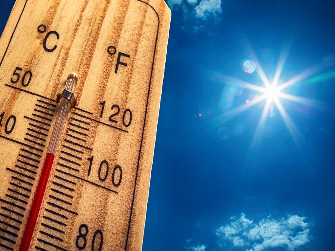
It will be a hazy, warm day with possible gusts up to 25 mph, prompting a high fire danger and poor air quality across the state.


NEW JERSEY — Haze from wildfires in Canada and windy, dry conditions have created both poor air quality and high fire danger in New Jersey. And, a chance of isolated showers and thunderstorms developing in the afternoon means there is a risk of flooding in some coastal areas Tuesday night.
Weather officials issued Air Quality Alerts across New Jersey on Tuesday because smoke and haze from ongoing wildfires in Canada is lingering in the atmosphere. This creates unhealthy conditions for sensitive groups Tuesday, during the day and into the evening hours.
"Sensitive individuals, including those with heart or lung disease, the elderly, and the young should limit strenuous activities and the amount of time active outdoors," said the National Weather Service.
Find out what's happening in Across New Jerseyfor free with the latest updates from Patch.
Forecasters with the NWS said these conditions will only worsen as a cold front passes over the region today.
A Red Flag Warning for wildfires is in effect for most of the state, as well. Gusty winds, low relative humidity, and dry ground conditions mean a fire can spread quickly. Fire danger is listed as "very high" across the state, according to the Department of Environmental Protection, one step below the highest level of "extreme."
Find out what's happening in Across New Jerseyfor free with the latest updates from Patch.
“Use extreme caution with any potential ignition sources for fires today,” the NWS office in Mount Holly advised. “Any fires that develop may quickly get out of control and become difficult to contain.”
Isolated showers and “perhaps a few thunderstorms” will develop later in the day. National Weather Service forecasters say to expect wind gusts of up to 25 miles per hour throughout the day.
Coastal Flood Advisories are now in effect beginning at 9 PM this evening for Ocean County south to Cape May County in New Jersey, per the National Weather Service. Along the Raritan Bay, the coasts of Monmouth County, the Delaware Bay, and tidal Delaware River, spotty minor to minor coastal flooding is forecast Tuesday night.
Here is a look at the forecast through tonight around New Jersey from the National Weather Service:
North Jersey
Tuesday afternoon
A 40 percent chance of showers and thunderstorms. Widespread haze. Areas of smoke. Partly sunny, with a high near 79. Northwest wind around 15 mph.
Tuesday night
Widespread haze. Patchy smoke. Mostly clear, with a low around 56. Northwest wind 7 to 13 mph.
Central Jersey
Tuesday afternoon
A chance of showers, with thunderstorms also possible after 3pm. Widespread haze. Patchy smoke. Partly sunny, with a high near 82. Northwest wind around 15 mph. Chance of precipitation is 30 percent. New rainfall amounts of less than a tenth of an inch, except higher amounts possible in thunderstorms.
Tuesday night
A chance of showers and thunderstorms, mainly before 7pm. Widespread haze. Patchy smoke. Mostly cloudy, then gradually becoming clear, with a low around 53. Northwest wind 10 to 15 mph. Chance of precipitation is 30 percent. New precipitation amounts of less than a tenth of an inch, except higher amounts possible in thunderstorms.
South Jersey
Tuesday afternoon
A chance of showers, with thunderstorms also possible after 5pm. Widespread haze. Patchy smoke. Mostly sunny, with a high near 82. West wind around 15 mph. Chance of precipitation is 30 percent. New rainfall amounts of less than a tenth of an inch, except higher amounts possible in thunderstorms.
Tuesday night
Widespread haze. Patchy smoke. Partly cloudy, with a low around 59. Northwest wind around 10 mph.
Get more local news delivered straight to your inbox. Sign up for free Patch newsletters and alerts.