Weather
Dangerous Rip Currents, Waves Up To 15 Feet Forecast For Ocean County Beaches
No swimming - anywhere

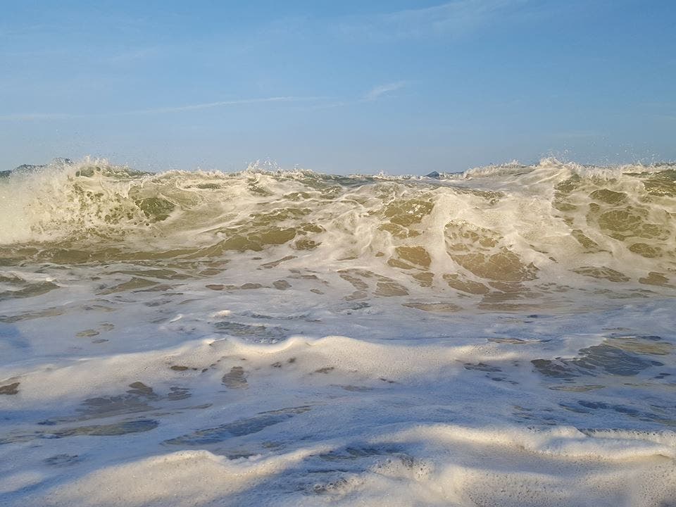
Don't go near the water.
The National Weather Service is calling for cloudy skies with a slight chance of showers today.
But Tropical Storm Hermine is lurking offshore, churning waves up to heights of 13 to 15 feet, with northeast swells of nine feet. High surf, rip currents and large swells will produce "dangerous pounding surf" at Ocean County beaches.
Find out what's happening in Berkeleyfor free with the latest updates from Patch.
"These rip currents will be life-threatening to anyone who enters the surf," the NWS says. "Anyone visiting the beaches should stay out of the surf."
The water temperature is 76 degree. The UV index is a 2, which the NWS considers very low. There is no lightning threat today.
Find out what's happening in Berkeleyfor free with the latest updates from Patch.
Hermine took a more easterly turn overnight, so the anticipated rain threat has dropped. Coastal flooding is expected with the evening high tide tonight and Monday morning.
High tide at Barnegat Inlet roared in at 10:24 a.m. Low tide will arrive at 4:39 p.m., followed by another high tide at 10:37 p.m.
Get more local news delivered straight to your inbox. Sign up for free Patch newsletters and alerts.