Weather
Hermine Finally Weakening Off Ocean County Coast,National Weather Service Says
Rip current risk still high this morning, but will drop off during the day.

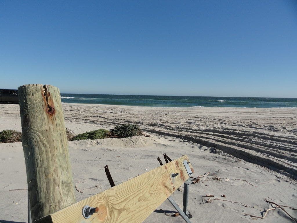
The rip current risk from post-tropical storm Hermine is finally dropping, the National Weather Service says.
Skies today will be mostly cloudy, with a chance of showers and and a slight chance of thunderstorms . Highs will be in the lower 80s. Beach winds will be from the northwest at 10 to 15 miles per hour.
Wave height has dropped considerably from the past week, with three to six feet forecast for today and northeast swells of three to four feet. The ocean water temperature is 72 degrees.
Find out what's happening in Berkeleyfor free with the latest updates from Patch.
There's a moderate of rip currents today. That means wind and or wave conditions support stronger or more frequent rip currents. Always have a flotation device with you in the water. Swim only in guarded areas and discuss any possible surf zone hazards with the guards.
If swimming is allowed, discuss surf zone hazards with them.
Find out what's happening in Berkeleyfor free with the latest updates from Patch.
The lightning threat is low, which means there is little chance of thunderstorms. The UV index is a 4.
Low tide at Barnegat Inlet was at 6:16 a.m. High tide will roll in at 12:31 p.m., followed by another low tide at 6:53 p.m.
Image: Patricia A. Miller
Get more local news delivered straight to your inbox. Sign up for free Patch newsletters and alerts.