Weather
National Weather Service Issues Beach Hazard Alert For Ocean County For Third Day In A Row
Rough seas and swells from tropical systems still affecting shore area, more to come this weekend.

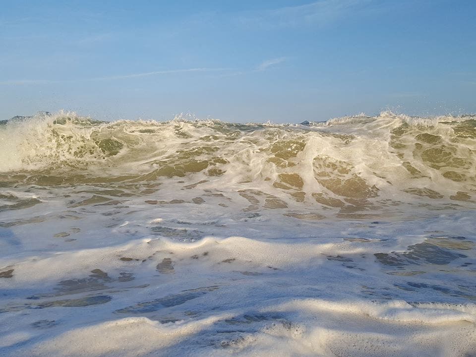
Expect to see more red flags up and down beach areas in Ocean County today.
The National Weather Service has issued a beach hazards statement that will be in effect through tonight. The rip current risk is expected to continue through the Labor Day weekend since tropical storm Hermine is expected to churn north towards to mid-Atlantic region this week.
"The second round of increased rip current risk (from Hermine) could begin Friday, then persist through Monday," the NWS says. "Strong winds and eavy rain is most likely Saturday and Sunday, with showers possibly lingering into Monday.
Find out what's happening in Berkeleyfor free with the latest updates from Patch.
Highs today will only be in the upper 70s. Beach winds will be from the northwest at five to 10 miles per hour, switching over to the northeast in the afternoon.
Waves will be around three feet, with easterly swells around two feet. The ocean water temperature is 78 degrees. The lightning threat is low, which means there is little chance of thunderstorms.
Find out what's happening in Berkeleyfor free with the latest updates from Patch.
There's a moderate rip current risk today, which means wind and or wave conditions can support stronger or more frequent rip currents.
Always have a flotation device with you in the water and swim only in guarded areas.
High tide at Barnegat Inlet rolled in at 8:20 a.m., followed by low tide at 2:36 p.m. and another high tide at 8:36 p.m.
Have a nice day!
Image: Harvey Cedars Beach Patrol
Get more local news delivered straight to your inbox. Sign up for free Patch newsletters and alerts.