Crime & Safety
Flooding, Nor'easter Threats Prompt Cancellations In Brick
Residents in low-lying parts of Brick are urged to move vehicles to higher ground; significant back-bay flooding is expected, officials said


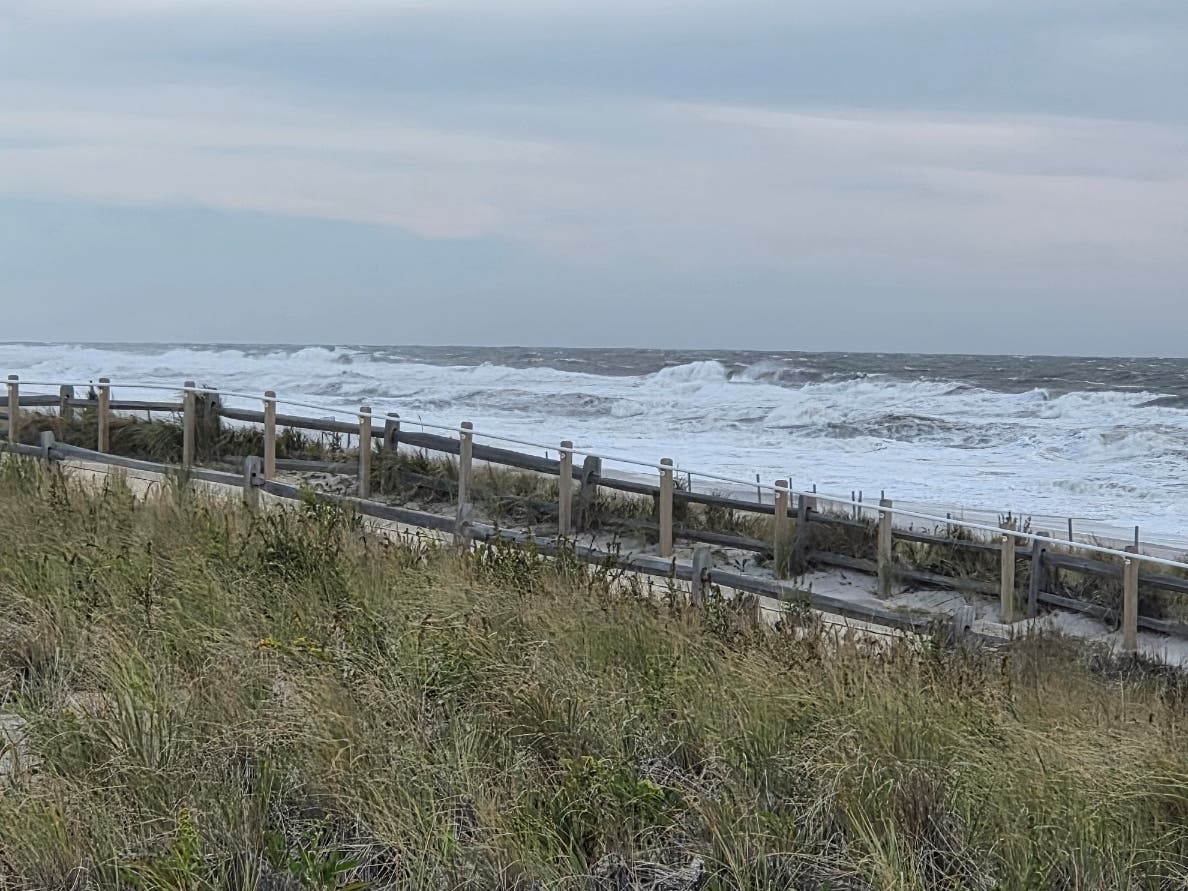
BRICK, NJ — Brick Township officials are urging residents to take precautions ahead of the nor'easter moving toward New Jersey due to threats of significant flooding and strong winds.
The threat is particularly of concern for residents of low-lying areas, especially along the back bays, the National Weather Service said Friday.
Because of the storm, the Brick Farmers Market and the planned Pick Up Brick cleanup at the Sawmill Tract, both set for Saturday, have been canceled, township officials said.
Find out what's happening in Brickfor free with the latest updates from Patch.
Brick officials said residents in flood-prone areas should move their vehicles to higher ground. Parking is typically available at Angela Hibbard Park, along with the lots at Emma Havens Young and Drum Point elementary schools.
Police remind residents to never drive through a flooded street, even if the water appears shallow.
Find out what's happening in Brickfor free with the latest updates from Patch.
"The roadway beneath it may be damaged, and your vehicle can become stranded or swept away," police said.
The winds are predicted to be 30 to 40 mph with gusts to 60 mph, according to the National Weather Service, so residents are urged to secure or bring loose items inside, including patio furniture, umbrellas and trash cans.
"High wind gusts can cause these items to become hazardous projectiles," police said.
The wind may bring down power lines, police said.
"Always assume any downed wire is energized and life-threatening. Maintain a distance of at least 30 feet and report downed lines immediately," police said.
Power outages should be reported to Jersey Central Power & Light (JCP&L) directly by calling 1-888-LIGHTSS (1-888-544-4877) or text OUT to 544487.
There are expected to be multiple rounds of flooding matching the high tide cycles through Saturday night and into Sunday.
The flooding also will be increased by the effects of Saturday's full moon and the persistent northeast-to-north winds pushing water toward the coast.
The high tides are expected at about 7:10 p.m. Friday, 7:30 a.m. and 7:48 p.m. Saturday, and 8:07 a.m. Sunday on the oceanfront, with high tides in the back bays at 10:20 p.m. Friday, 10:42 a.m. and 10:59 p.m. Saturday, and 11:18 a.m. on Sunday.
The National Weather Service has listed it as moderate flooding, which the service says means the inundation of secondary roads, possible flooding of structures near the water and there may be evacuations necessary in some areas.
The storm also is anticipated to cause some beach erosion. On Friday morning the wind and high tide cycle were driving the waves well up the beach in neighboring Ortley Beach, as seen in the video at the bottom of this article, taken about 8:30 a.m.
Wind will continue to be a problem, with the storm expected to bring wind of 30 to 40 mph and gusts to 60 mph, the weather service said. Residents should make sure outdoor items are secured or put away.
Get more local news delivered straight to your inbox. Sign up for free Patch newsletters and alerts.