Community Corner
Clouds and showers slowly exit
Clouds and showers will slowly today. A powerful cold front will follow on Saturday with much cooler conditions by Sunday.
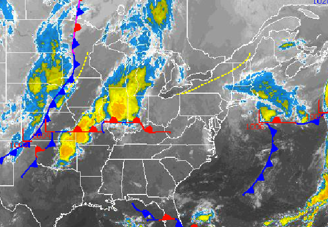
Clouds and showers will slowly exit to the east today as a coastal low finally departs into the Atlantic Ocean. While the end of the week will be tranquil and dry, a powerful cold front will follow on Saturday with periods of heavy rain and strong winds. A cool and tranquil pattern will take hold for the end of the week.
Today, clouds and showers will slowly exit from west to east today with the best potential for showers along the immediate coast. Winds will be from the northeast at 5 to 15 mph. Temperatures will rise into the upper 60’s to lower 70’s for highs this afternoon.
Tonight on through tomorrow, high pressure will build south from the St. Lawrence River Valley leading to scattered to broken cloud cover. Winds will veer from the northeast to southeast at 5 to 15 mph, increasing to 10 to 20 mph by tomorrow evening. Low temperatures will range from the upper 40’s to lower 50’s. High temperatures will range from the upper 60’s to lower 70’s.
Find out what's happening in Freeholdfor free with the latest updates from Patch.
A strong cold front will approach on Saturday morning with periods of rain expected through the afternoon. The rain will be heavy at times with rainfall amounts over an inch in some locations. Winds will veer from the southeast to the west at 15 to 25 mph with higher gusts. Low temperatures will range from the upper 50’s to lower 60’s. High temperatures will range from the mid to upper 60’s.
Canadian high pressure will build into the region Saturday night into Sunday with clearing skies and windy conditions. Winds will be from the west and northwest at 1o to 20 mph with higher gusts. Low temperatures will range from the upper 30’s to lower 40’s over the interior and lower to mid 40’s along the coast. High temperatures will range from the upper 50’s to lower 60’s.
Find out what's happening in Freeholdfor free with the latest updates from Patch.
High pressure will remain in control on Monday and Tuesday with scattered cloud cover expected. A cold front will follow on Wednesday with scattered showers expected. Low temperatures on Monday will range from the lower to mid 40’s. Low temperatures on Tuesday and Wednesday will range from the upper 40’s to lower 50’s. High temperatures will range from the upper 60’s to lower 70’s.


