Neighbor News
Clouds increase as marine air mass locks in
As high pressure shifts to the New England coastal waters today and disturbances approach from the west, a cloudy and unsettled marine air
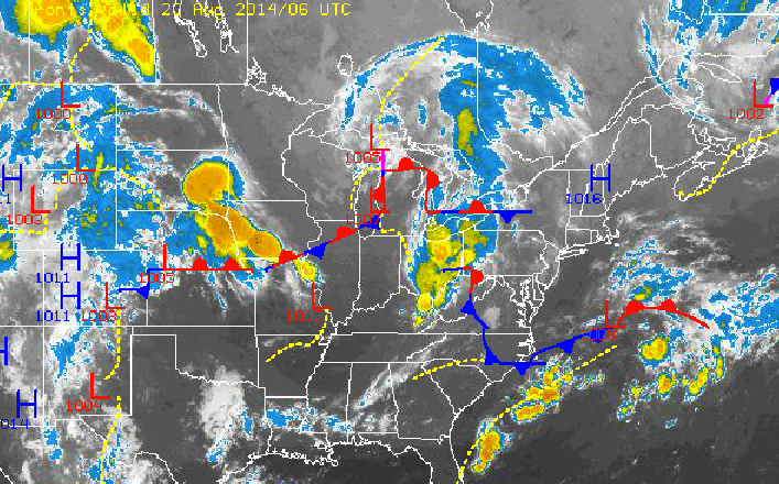
As high pressure shifts to the New England coastal waters today and disturbances approach from the west, a cloudy and unsettled marine air mass will settle over the Philadelphia and New York City metropolitan areas today. This air mass and influences will linger on through this weekend leading to the threat for showers each day.
Today on through tomorrow, scattered to overcast clouds can be expected with the threat for a few widely scattered showers possible. Disturbances will approach from the Ohio River Valley with areas of showers accompanying the disturbances. These showers will be capable of heavy downpours at times. Winds will be from the east and northeast at around 5 mph through this afternoon and 5 to 15 mph by tomorrow. Temperatures this afternoon will rise into the lower to mid 80’s throughout the Philadelphia and New York City metropolitan areas. Temperatures tomorrow morning will range from the upper 50’s to lower 60’s over the northern interior and mid to upper 60’s throughout the rest of the Philadelphia and New York City metropolitan areas. Temperatures tomorrow afternoon will range from the upper 70’s to lower 80’s throughout the northern Mid Atlantic.
On Friday, a more organized area of low pressure will approach from the Tennessee and Ohio River Valleys with overcast skies and scattered showers expected. This disturbance will provide the best potential for rainfall with a focus towards the morning hours. Winds will remain from the east and northeast at 5 to 15 mph as winds circulate between the high pressure to the north and the low pressure systems to the south. Temperatures will range from the mid to upper 60’s for lows and upper 70’s to lower 80’s for highs throughout the northern Mid Atlantic as the marine air mass takes over completely.
Find out what's happening in Freeholdfor free with the latest updates from Patch.
On Saturday and Sunday, high pressure will build south from the New England coastal waters into the Mid Atlantic. While showers will be isolated to widely scattered at most, cloud cover will be abundant with scattered to overcast skies expected. Winds will remain from the east and northeast at 5 to 15 mph. Temperatures will be below normal for this weekend. Low temperatures will range from the lower to mid 60’s over the interior and New York City metropolitan area and mid to upper 60’s for the Philadelphia metropolitan areas. High temperatures will range from the mid to upper 70’s along the immediate coast and much of the New York City metropolitan area and upper 70’s to lower 80’s over the interior and much of the Philadelphia metropolitan areas.
Clouds will break up on Monday and Tuesday with scattered cloud cover expected, however no shower activity is expected. Temperatures will average near to slightly below normal. Low temperatures will range from the upper 50’s to lower 60’s over the interior and lower to mid 60’s along the coast. High temperatures will range from the upper 70’s to lower 80’s throughout the Philadelphia and New York City metropolitan areas.