Neighbor News
Cloudy, cool, and unsettled along the coast
Cloudy, cool, and unsettled along the coast, clearing to the northwest and north! Cool weather on the way for the weekend
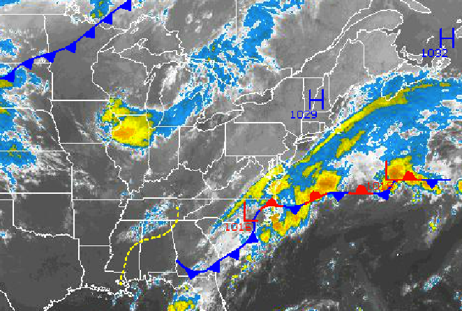
The contrast between high pressure over New England and an area of low pressure over North Carolina this morning is producing cloud, cool conditions along the coast while skies clear over the northern interior. This contrast will continue on through tomorrow before a strong cold front blows through on Thursday night.
An area of low pressure over North Carolina will lift northeast over the New Jersey coastal waters through tomorrow evening. Meanwhile, high pressure over New England will shift into the Canadian Maritimes. Along the coast, broken to overcast skies can be expected with a threat for showers, heavy at times. The showers will be scattered to isolated through the period. Meanwhile, scattered cloud cover can be expected over mush of eastern Pennsylvania, northern New Jersey, the Hudson River Valley, and Connecticut. Winds will be from the northeast at 5 to 15 mph over the interior and 10 to 20 mph with gusts over 30 mph along the coast. Temperatures will range from the lower to mid 70’s over the New York City metropolitan area, mid 70’s over the northern interior, and mid to upper 70’s over the Philadelphia metropolitan area this afternoon. Tonight, temperatures will fall into the upper 40’s to lower 50’s over the far northern interior, mid to upper 50’s over the western suburbs of Philadelphia and New York City, and lower to mid 60’s in the urban areas and along the coast. High temperatures tomorrow will range from the mid to upper 70’s in Philadelphia metropolitan area, mid 70’s over the interior and New York City metropolitan area, and lower to mid 70’s along the immediate coast.
A cold front will approach on Thursday with scattered cloud cover in the morning followed by showers and thunderstorms in the afternoon and evening. Areas of fog will be a threat on Thursday morning and may be locally dense. Scattered cloud cover will follow with showers and thunderstorms in the afternoon and evening featuring heavy downpours, wind gusts over 40 mph, and frequent lightning. Winds will be from the southwest at 10 to2 0 mph. Temperatures will range from the lower to mid 60’s for lows and upper 70’s to lower 80’s for highs.
Find out what's happening in Freeholdfor free with the latest updates from Patch.
Canadian high pressure will take hold by Friday morning and remain in place through Sunday with clear skies to scattered cloud cover. Temperatures will fall below normal for the period as the Polar air mass dominates the region. Low temperatures on Friday will range from the mid to upper 50’s throughout the region. However, for Saturday and Sunday low temperatures will range from the mid to upper 40’s over the interior and lower to mid 50’s along the coast. High temperatures will range from the upper 60’s to lower 70’s over the interior and lower to mid 70’s along the coast.
An area of low pressure will approach on Monday with periods of showers expected. Low temperatures will range from the mid to upper 50’s over the interior and upper 50’s to lower 60’s along the coast. High temperatures will range from the lower to mid 70’s throughout the northern Mid Atlantic.


