Community Corner
Cloudy start to the week
Overcast skies and a threat for showers will kick off this mild week, but a powerful cold front will bring cool conditions by this weekend.
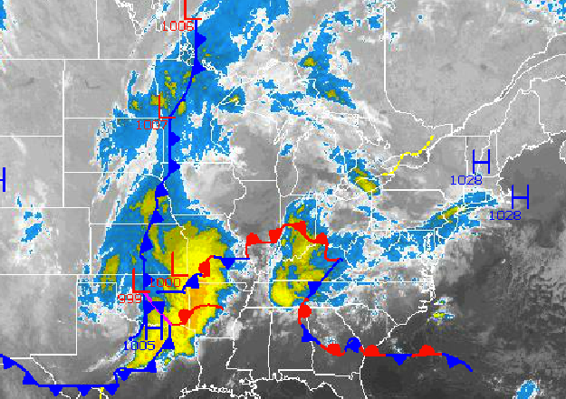
A cloudy start to the week can be expected as high pressure anchored over New England drives a tropical Atlantic air mass into the Philadelphia and New York City metropolitan areas. A strong cold front will follow on Thursday with periods of rain that will linger into Friday. Cooler conditions return by the end of next weekend.
Today through Wednesday, high pressure will sit over New England and drive a tropical marine air mass into the Philadelphia and New York City metropolitan areas. Overcast skies to broken cloud cover can be expected with an isolated shower a threat at any time. Winds will be from the southeast at 5 to 15 mph. Temperatures this afternoon will rise into the mid 60’s for highs throughout the region. Temperatures tomorrow will range from the mid to upper 50’s for lows and mid 70’s for highs. Temperatures on Wednesday will range from the upper 50’s to lower 60’s for lows and mid to upper 70’s for highs.
A powerful cold front will slowly drive through the Philadelphia and New York City metropolitan areas Thursday on through Friday morning with periods of moderate to heavy rainfall. Winds will veer from the southeast to northwest at 10 to 20 mph. Temperatures on Thursday will range from the lower to mid 60’s for lows and mid to upper 70’s for highs. Temperatures on Friday will range from the mid 50’s for lows and upper 60’s to lower 70’s for highs.
Find out what's happening in Freeholdfor free with the latest updates from Patch.
A secondary cold front will move through the region on Saturday with scattered cloud cover. High pressure will be in control by Sunday with clearing skies. Temperatures on Saturday will range fro the lower to mid 50’s for lows and upper 60’s to lower 70’s for highs. Temperatures on Sunday will range from the mid to upper 40’s for lows and mid 60’s for highs.


