Neighbor News
Coastal Storm Batters Region
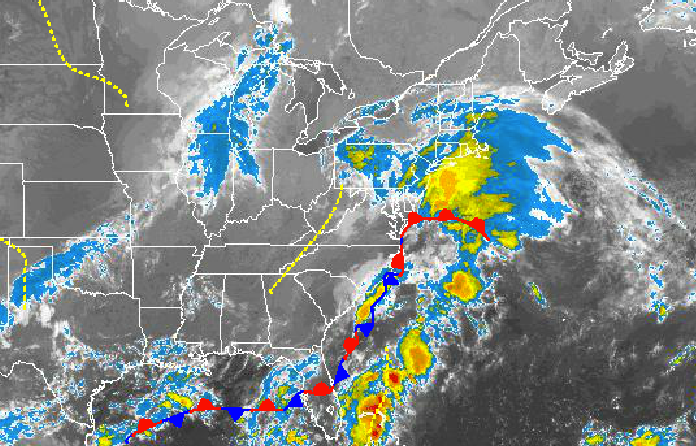
A coastal storm will produce heavy rain and strong winds throughout New Jersey today
A developing coastal storm will bring heavy rain, strong winds, and raw weather conditions to the Philadelphia and New York City metropolitan areas today. However, high pressure by tomorrow afternoon will produce excellent weather conditions for this upcoming weekend.
Periods of heavy rain can be expected through this evening as an area of low pressure tracks through the New Jersey coastal waters this afternoon. The rain will move in from the Atlantic in waves with some very heavy downpours leading to poor visibility. Winds will be from the northeast at 15 to 25 mph with higher gusts expected. Temperatures won’t move much with highs in the mid to upper 60’s. Rainfall amounts of a half an inch to an inch is expected over the interior and one to two inches with locally higher amounts along the coast.
Tonight, the rain will taper off to scattered showers with clearing developing from west to east by tomorrow morning. Winds will back to the north and northwest at 10 to 20 mph. Temperatures will fall into the lower to mid 50’s for lows.
Find out what's happening in Freeholdfor free with the latest updates from Patch.
Tomorrow, high pressure will build into the region with clearing skies. Winds will be from the northwest at 5 to 15 mph. Temperatures will rise into the mid to upper 70’s for highs.
High pressure will become the dominant influence on the weather pattern Friday night on through Wednesday with scattered cloud cover expected. Temperatures will range from the mid to upper 50’s for lows and mid to upper 70’s for highs.


