Community Corner
Coastal storm brings heavy rain and windy conditions
A coastal storm will bring rain and wind to the region through tomorrow
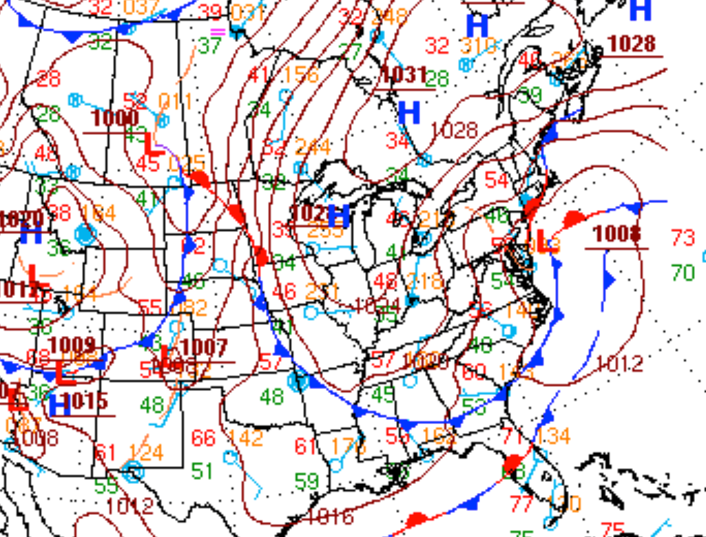
A developing coastal low pressure system off the southern New Jersey coast will produce periods of heavy rain, strong winds, and raw conditions for the Philadelphia and New York City metropolitan areas through tomorrow. The coastal storm will exit by tomorrow night with excellent weather conditions on the way for this weekend.
Today on through tomorrow, periods of moderate to heavy rain with embedded thunderstorms will rotate through the northern Mid Atlantic. While there will be breaks in the rainfall at times, the potential for moderate to heavy rain will exist at any time through tomorrow evening. Embedded thunderstorms in the rain shield will be capable of intense rainfall rates of a half an inch to as much as two inches per hour, as seen already this morning in central New Jersey. These thunderstorms will also be capable of wind gusts over 40 mph and occasional to frequent lightning. The heaviest rainfall is expected to be from the Delaware River on east with rainfall amounts of one to two inches with locally higher amounts expected. To the west of the Delaware River, rainfall amounts will vary from a quarter of an inch to an inch of rain. Winds will back from the northeast to northwest at 15 to 25 mph with gusts over 30 mph through tomorrow. Temperatures this afternoon with range from the mid to upper 50’s. Temperatures tomorrow will range from the mid to upper 40’s for lows and upper 50’s to lower 60’s for highs.
Showers will linger on Friday followed by slow clearing in the afternoon and evening. Winds will be from the northwest at 10 to 20 mph, decreasing to 5 to 15 mph by the evening. Low temperatures will range from the upper 30’s to lower 40’s over the interior and lower to mid 40’s along the coast. High temperatures will range from the lower to mid 60’s throughout the Philadelphia and New York City metropolitan areas.
Find out what's happening in Freeholdfor free with the latest updates from Patch.
High pressure will be in control Saturday on through Tuesday with clear skies to scattered cloud cover. Tranquil and seasonable temperatures can be expected through the period. Low temperatures will range from the upper 30’s to lower 40’s over the interior and mid to upper 40’s along the coast. High temperatures will range from the upper 50’s to lower 60’s over the interior and lower to mid 60’s along the coast.


