Community Corner
Cold and windy end to the week
An area of low pressure will produce cold and windy conditions to end the week
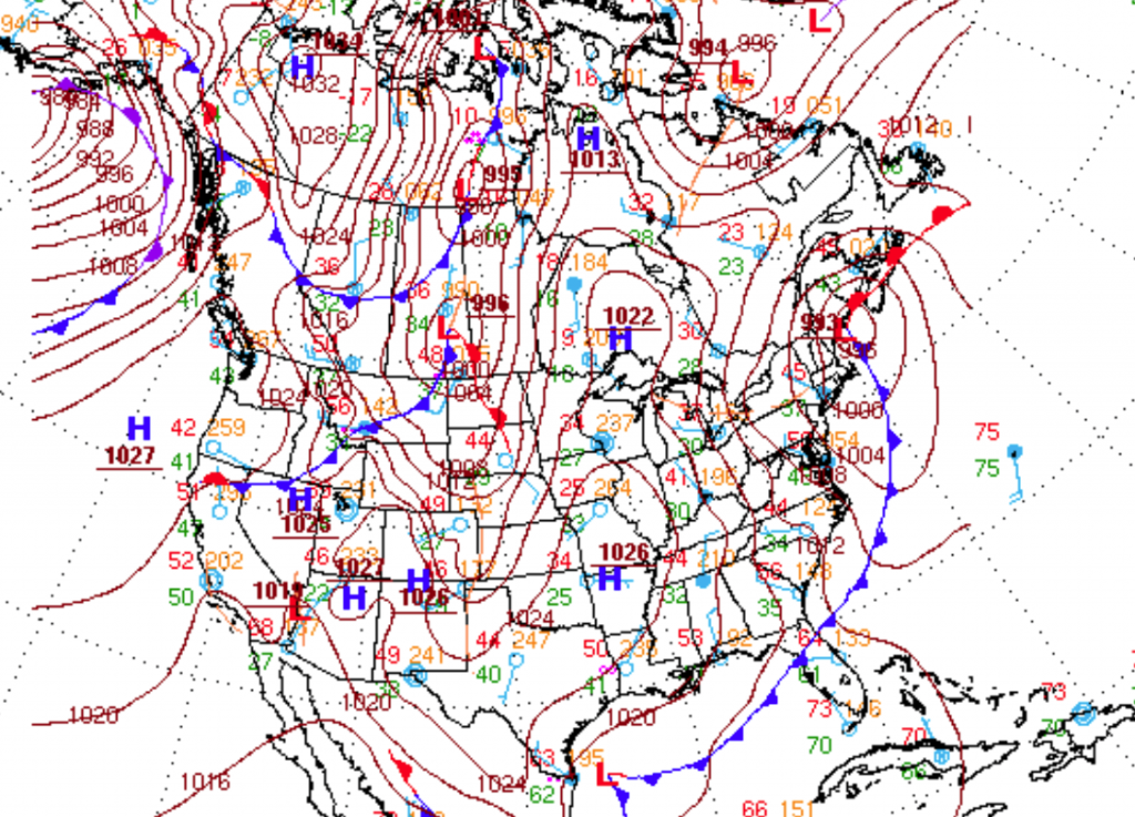
As an area of low pressure in the Gulf of Maine rapidly intensifies, cold and windy weather conditions will settle in throughout the Philadelphia and New York City metropolitan areas. Dry and cold weather conditions can be expected for this weekend. A significant Arctic blast is on the way for next week that could lead to some more wintery weather by the end of next week.
Winds will be from the northwest at 15 to 25 mph, decreasing to 10 to 20 mph by Saturday. Temperatures will fall into the mid 20’s over the interior and upper 20’s to lower 30’s along the coast.
High pressure will be in control this weekend with clear skies to scattered cloud cover expected. Winds will be from the west at 5 to 15 mph. Temperatures will remain near to below normal through the weekend. High temperatures tomorrow will range from the upper 40’s to lower 50’s throughout the region. Low temperatures on Sunday will range from the lower to mid 30’s over the interior and mid to upper 30’s along the coast. High temperatures on Sunday will rebound to near normal levels with highs in the lower to mid 50’s.
Find out what's happening in Freeholdfor free with the latest updates from Patch.
High pressure will shift to the east of the Philadelphia and New York City metropolitan areas on Monday and Tuesday with scattered cloud to clear skies along with warmer conditions. Temperatures on Monday will range from the mid to upper 30’s for lows and mid to upper 50’s for highs. Temperatures on Tuesday will range from the upper 30’s to lower 40’s for lows and upper 50’s to lower 60’s for highs.
An Arctic cold front will follow on Wednesday with periods of rain followed by rapidly falling temperatures. Temperatures ahead of the cold front will peak in the mid to upper 50’s before falling through the 50’s, 40’s, and 30’s in the evening. An area of low pressure will develop along the cold front on Thursday evening into next Friday with periods of rain along the coast and a wintery mix of snow, sleet, and rain possible over the interior. The exact track and timing of this low pressure system is still very much uncertain. Temperatures will fall to well below normal levels. Low temperatures will range from the mid 20’s over the interior and upper 20’s to lower 30’s along the coast. High temperatures will range from the upper 30’s to lower 40’s over the interior and mid to upper 40’s along the coast.


