Community Corner
Cold Sunday Morning, Showers On Monday
Periods of rain will exit this afternoon followed by rather cold conditions by tomorrow morning!
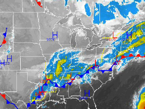
Periods of rain this morning will exit by mid afternoon leading to clearing skies. With clearing skies, weakening winds, and a fresh Polar air mass on the way, temperatures will crash by tomorrow morning with some locations falling to freezing.
The rain will exit from west to east this afternoon with clearing skies by this evening. Winds will back from the northeast to the north at 5 to 15 mph. Temperatures this afternoon will rise into the upper 50’s to lower 60’s for highs.
Skies will clear tonight as high pressure builds into the Philadelphia and New York City metropolitan areas. Winds will be from the north at 5 mph. The primary weather story by tomorrow morning will be the cold air. Temperatures will fall into the lower to mid 30’s over the northern interior, mid to upper 30’s in the western suburbs of Philadelphia and New York City, and lower to mid 40’s along the coast and in urban locations.
Find out what's happening in Freeholdfor free with the latest updates from Patch.
Scattered clouds with isolated showers can be expected tomorrow afternoon as a low pressure passes to the south. Winds will back to the northeast at 5 to 15 mph. Temperatures will rise into the lower to mid 60’s for highs throughout the northern Mid Atlantic.
A warm front will lift north on Monday with scattered showers expected. These showers will be capable of heavy downpours at times. Winds will back to the south and southeast at 5 to 15 mph. Temperatures on Monday will range from the upper 40’s to lower 50’s for lows and lower to mid 60’s for highs.
Find out what's happening in Freeholdfor free with the latest updates from Patch.
With the warm front to the north, the Philadelphia and New York City metropolitan areas will feature rather warm conditions for Tuesday and Wednesday. Scattered to overcast clouds can be expected with periods of showers. Low temperatures will range from the upper 50’s to lower 60’s throughout the region. High temperatures will range from the upper 60’s to lower 70’s over the interior and lower to mid 70’s along the coast.
A very slow moving cold front will drive through the region on Thursday and Friday with periods of rain expected. The cold front will clear the region by Friday afternoon with clearing skies. Temperatures will range from the upper 40’s to lower 50’s for lows and mid 60’s for highs.


