Neighbor News
Cool and tranquil end to the week
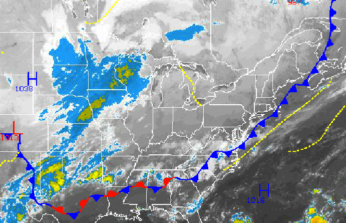
Fall pattern settles in with cool conditions and an active weather pattern
You can feel the difference in the atmosphere already with clearing skies, low humidity, temperatures in the 50’s and 60’s, and a northwesterly breeze. Fall is here and the pattern and cool conditions are here to stay. However, while tranquil weather conditions will be in place for today, unsettled weather conditions with periods of showers will return tomorrow.
Canadian high pressure will be in full control through tomorrow morning with clear skies to scattered cloud cover. Winds will be from the northwest and north at around 5 mph. Temperatures this afternoon will rise into the lower to mid 70’s throughout the Philadelphia and New York City metropolitan areas. Low temperatures tomorrow morning will range from the upper 40’s to lower 50’s over the interior and mid to upper 50’s along the coast. A few locations in the interior will potential fall into the lower to mid 40’s if skies clear enough.
Tomorrow afternoon, a wave of low pressure developing along the cold front will produce periods of showers throughout the Philadelphia and New York City metropolitan areas. The showers will be capable of producing heavy downpours at times. Winds will veer to the northeast at 5 to 10 mph and then back to the northwest at 5 to 10 mph as the low pressure system exits. Temperatures will rise into the mid to upper 60’s over the interior, upper 60’s to lower 70’s over the New York City metropolitan areas, and lower to mid 70’s over the Philadelphia metropolitan area.
Find out what's happening in Freeholdfor free with the latest updates from Patch.
Canadian high pressure will be in full control Sunday and Monday with clear skies to scattered cloud cover. Winds will be from the north and northwest at 5 to 10 mph. Low temperatures will be in the mid to upper 40’s over the interior and upper 40’s to lower 50’s along the coast. High temperatures will range from the mid to upper 60’s over the interior and lower to mid 70’s along the coast.
A wave of low pressure will move through the Philadelphia and New York City metropolitan areas on Tuesday with periods of rain, heavy at times. Low temperatures will range from the mid to upper 50’s over the interior and upper 50’s to lower 60’s along the coast. High temperatures will range from the lower to mid 70’s throughout the northern Mid Atlantic.
Find out what's happening in Freeholdfor free with the latest updates from Patch.
Canadian high pressure will be in control for Wednesday and Thursday with clear skies to scattered cloud cover. Low temperatures will range from the mid to upper 40’s over the interior and lower to mid 50’s along the coast. High temperatures will range from the upper 60’s to lower 70’s over the interior and lower to mid 70’s along the coast.


