Neighbor News
Cool end to the week
Polar high pressure will produce very cool weather conditions today and tranquil conditions for this weekend.
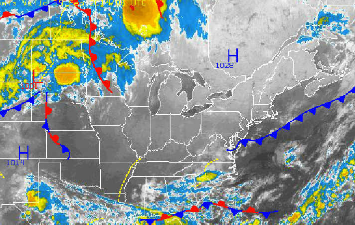
Canadian high pressure will be in full control through at least Sunday afternoon with tranquil weather conditions and temperatures averaging below normal today and near normal for the weekend. A cold front will bring showers to the region on Monday morning followed by another stretch of tranquil weather conditions.
Very cool conditions will be in place for today with clear skies expected throughout the Philadelphia and New York City metropolitan areas. Winds will be from the north at 5 mph. Temperatures will rise into the mid to upper 60’s over the interior and New York City metropolitan areas and upper 60’s to lower 70’s in the Philadelphia metropolitan area.
Tonight, clear skies and light winds will allow temperatures to crash tonight, especially over the interior. Winds will be light and variable throughout the region. Temperatures will fall into the mid 40’s over the interior, upper 40’s to lower 50’s over the western suburbs of New York City and Philadelphia, and lower to mid 50’s along the coast and in urban locations.
Find out what's happening in Freeholdfor free with the latest updates from Patch.
Tomorrow on through Sunday evening, high pressure will slowly depart to the northeast of the northern Mid Atlantic. Scattered clouds can be expected through the weekend. Winds will veer from the northwest to the southeast at 5 to 15 mph. Temperatures tomorrow afternoon will range from the lower to mid 70’s over the interior and New York City metropolitan areas and mid to upper 70’s over the Philadelphia metropolitan areas. Temperatures on Sunday will range from the upper 50’s to lower 60’s for lows and mid to upper 70’s for highs.
A cold front will move through the Philadelphia and New York City metropolitan areas Sunday night into Monday morning with periods of showers expected. A few of the showers will be heavy at times. The cold front will exit by Monday afternoon with clearing skies into the evening and winds veering to the northwest at around 5 to 15 mph. Temperatures will range from the upper 50’s to lower 60’s for lows but only rise into the upper 60’s to lower 70’s for highs in the afternoon.
Find out what's happening in Freeholdfor free with the latest updates from Patch.
Polar high pressure will be in control Tuesday on through Friday with clear skies, light winds, and temperatures near to slightly below normal. Low temperatures through the period will rand from the lower to mid 40’s over the interior, mid to upper 40’s over the western suburbs of Philadelphia and New York City, and upper 40’s to lower 50’s along the coast and in urban locations. High temperatures will range from the mid to upper 60’s over the interior and lower to mid 70’s along the coast.


