Neighbor News
Cool, tranquil conditions kicks off the week
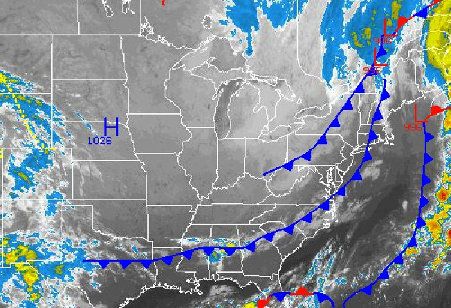
Cool and tranquil conditions will start the week and Polar high pressure locks in.
A secondary cold front moving through the Philadelphia and New York City metropolitan areas today won’t bring any rainfall but will certainly deliver cool and windy conditions for this afternoon.
Canadian high pressure will build into the northern Mid Atlantic this afternoon with clearing skies and breezy conditions. Winds will be from the northwest at 10 to 20 mph with gusts up to 30 mph at times. Temperatures will not rise much from this morning with highs in the lower to mid 60’s over the interior and upper 60’s to lower 70’s along the coast. Most locations will remain below 70 degrees today.
High pressure will produce clear skies tonight on through tomorrow. Winds will be from the northwest and north 5 to 15 mph. Low temperatures will range from the upper 30’s to lower 40’s for lows, mid to upper 40’s over the western suburbs of New York City and Philadelphia, and upper 40’s to lower 50’s in immediate urban areas. High temperatures will range from the mid to upper 60’s over the interior and upper 60’s to lower 70’s along the coast.
Find out what's happening in Freeholdfor free with the latest updates from Patch.
Canadian high pressure will remain in control with clear skies to scattered cloud cover Wednesday on through Sunday. The high pressure system will drift from the Ohio River Valley to the New England coastal waters through the period leading to winds veer from the north to east at around 5 to 15 mph through the forecast periods. Low temperatures through the period will range from the lower to mid 40’s over the far northern interior, upper 40’s to lower 50’s over the western suburbs of Philadelphia and New York City, and lower to mid 50’s along the coast and in urban areas. High temperatures will range from the upper 60’s to lower 70’s over the interior and lower to mid 70’s along the coast.


