Community Corner
Foggy conditions gives way to Arctic Blast
Foggy conditions will give way to Arctic air as a major pattern change unfolds
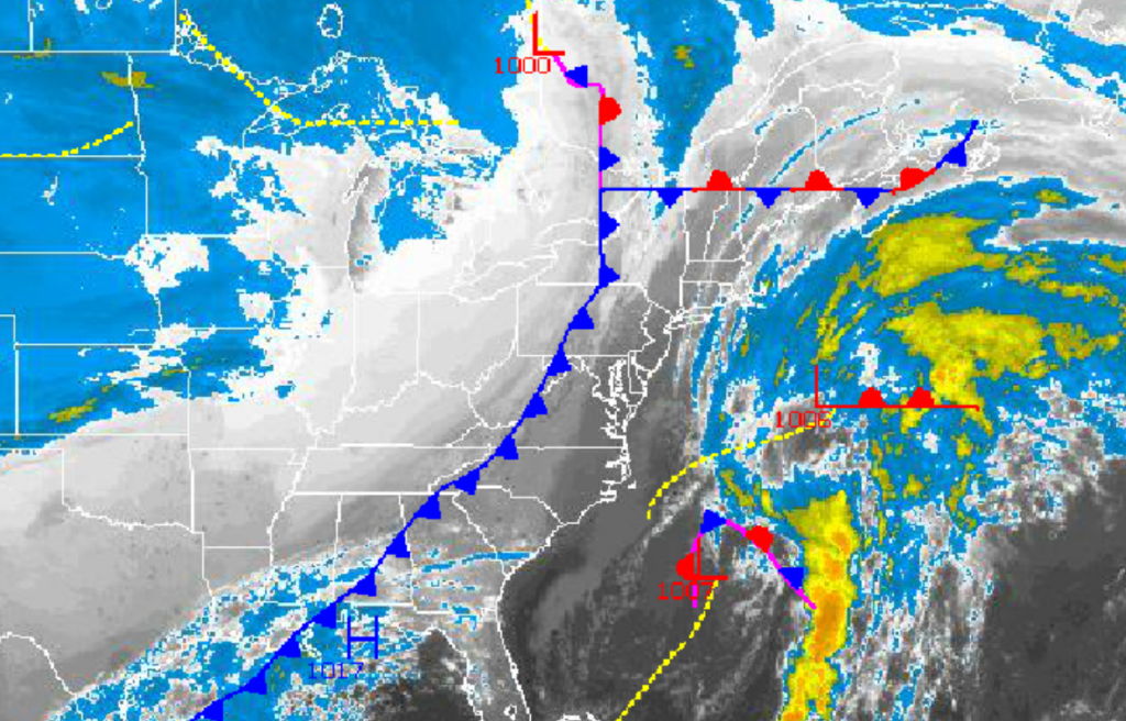
Locally dense fog has settled into much of the Philadelphia and New York City metropolitan areas this morning leading to visibility below a mile and difficult driving conditions, however an Arctic cold front is on the move that will not only clear out the fog but cause temperatures to go into a free fall. A far more wintery like pattern will be in place going forward.
The fog will remain dense through 10 AM this morning with visibility below a mile in many locations. The fog will slowly lift through the early afternoon ahead of the advancing cold front. A few showers are expected with the cold front however most locations will remain dry as the cold front drives through. Winds will veer from the southeast at 5 mph to the northwest at 5 to 15 mph, increasing to 10 to 20 mph by this afternoon. Temperatures will rise into the upper 50’s over the interior and lower to mid 60’s along the coast ahead of the cold front. Temperatures will then fall through the 50’s, 40’s, and 30’s late this afternoon and evening as the cold front exits into the Atlantic.
Skies will clear tonight as the cold front exits and Arctic high pressure builds into the region. Clear skies to scattered clouds are expected through tomorrow afternoon. Winds will veer to the northwest at 10 to 20 mph. Temperatures will fall into the upper 20’s to lower 30’s over the interior and mid 30’s along the coast for lows. High temperatures tomorrow will rebound into the mid to upper 40’s for highs.
Find out what's happening in Freeholdfor free with the latest updates from Patch.
A wave of low pressure will track to the southeast of New Jersey tomorrow night through Friday morning with periods of rain and snow showers, even along the coast. No snowfall accumulation is expected, however some roadways over the interior may be slick especially above 500 feet in elevation. Low temperatures on Friday will range from the upper 20’s to lower 30’s over the interior and lower to mid 30’s along the coast. High temperatures will range from the lower to mid 40’s.
High pressure will be in control for Friday night on through Sunday with clear skies to scattered cloud cover. Temperatures will average well below normal for this time of year. Low temperatures will range from the lower to mid 20’s over the interior and upper 20’s to lower 30’s along the coast. High temperatures will range from the upper 30’s to lower 40’s over the interior and lower to mid 40’s along the coast.
Find out what's happening in Freeholdfor free with the latest updates from Patch.
An area of low pressure will track from the Gulf Coast to the Mid Atlantic coast on Monday with periods of rain and snow throughout the region. Coastal areas are likely to have all rain from this threat, however interior locations may have some snow accumulation, especially for elevations above 1,000 feet. The track of this low pressure system remains uncertain and will have to be monitored. Low temperatures will range from the upper 20’s to lower 30’s over the interior and mid 30’s along the coast. High temperatures will range from the lower to mid 40’s over the interior and mid to upper 40’s along the coast.
High pressure will take hold by Tuesday with clearing skies expected. Low temperatures will range from the mid 20’s over the interior and upper 20’s to lower 30’s along the coast. High temperatures will range from the upper 30’s to lower 40’s over the interior and lower to mid 40’s along the coast.


