Community Corner
Harsh cold conditions linger today
The harsh cold conditions will linger for today but warmer weather is on the way
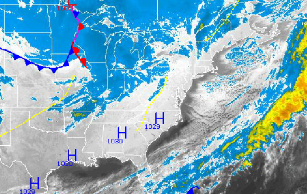
The harsh January-like cold conditions will linger on for one more day before more seasonably cold conditions return for the rest of the week. As winds back to the west and decrease to 5 to 15 mph by this afternoon, the cold conditions will slowly give way. However, a cold front in the Northern Plains will provide another shoot of chilly polar air on Friday before a steady warm up for the weekend.
Arctic high pressure will slowly exit to the east today through tomorrow. Clear skies to scattered cloud cover is expected through tomorrow with winds from the west at 10 to 20 mph this morning, decreasing to 5 to 15 mph by this afternoon. Winds will back to the southwest at 5 to 15 mph by tomorrow evening. Temperatures this afternoon will rise into the upper 20’s to lower 30’s for highs. Low temperatures by tomorrow morning will fall slightly with mid 20’s over the interior and upper 20’s to lower 30’s along the coast. High temperatures tomorrow will rebound into the upper 30’s over the interior and lower to mid 40’s along the coast.
A cold front will move through on Friday with a few isolated snow showers or flurries in the morning. No snowfall accumulation is expected with this cold front. Winds will veer from the southwest to northwest at 5 to 15 mph, increasing to 10 to 20 mph behind the cold front. Low temperatures will range from the upper 10’s to lower 20’s over the interior and lower to mid 20’s along the coast. High temperatures will rise into the mid 30’s over the interior and upper 30’s to lower 40’s along the coast.
Find out what's happening in Freeholdfor free with the latest updates from Patch.
High pressure will be in control for Friday night on through Sunday afternoon with scattered cloud cover expected for much of the period. Overcast skies can be expected by Sunday afternoon as a warm front approaches. Low temperatures on Saturday will range from the upper 10’s over the interior and lower to mid 20’s along the coast. High temperatures on Saturday will range from the upper 30’s to lower 40’s throughout the region. Low temperatures on Sunday will range from the mid 20’s over the interior and upper 20’s to lower 30’s along the coast. High temperatures on Sunday will range from the upper 40’s over the interior and lower to mid 50’s along the coast.
A warm front will drive through the region on Sunday night into Monday with periods of rain expected. A cold front will follow with more rainfall through the day on Monday. High pressure will take hold by Tuesday with clearing skies. Temperatures on Monday will range from the upper 30’s to lower 40’s for lows and mid to upper50’s for highs. Temperatures on Tuesday will range from the lower to mid 40’s for lows and lower to mid 50’s for highs.


